Bayville night lights from space
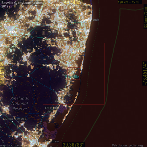
Night Light of Bayville (New Jersey) from space (United States) Src. Average luminocity for 10x10km area is 49.8112% and for 50x50km: 22.1656%.

Analysis of Bayville night lights 2016
Square area 10x10 km:
 1.7%
1.7%90-99
4.76%80-89
6.63%70-79
10.2%60-69
13.27%50-59
16.84%40-49
10.88%30-39
9.69%20-29
11.22%10-19
12.24%0-9
2.55%Square area 50x50 km:
2.08%90-99
3.08%80-89
3.38%70-79
3.87%60-69
5.97%50-59
4.12%40-49
2.44%30-39
2.76%20-29
5.07%10-19
9.47%0-9
57.77%Clear (daylight) street map image can be seen on geolist.org.
Map coordinates:
40° 26' 47.4" North, 74° 51' 28.8" West
39° 54' 33.4" North, 74° 9' 17.5" West
39° 22' 4.2" North, 73° 27' 6.3" West
Some cities around Bayville sort by population:
• Toms River
6.2 km =3.9 mi,  323°
323°
• Point Pleasant
20.7 km =12.9 mi,  20°
20°
• Ocean Acres
21.4 km =13.3 mi,  210°
210°
• Holiday City-Berkeley
12.1 km =7.5 mi,  299°
299°
• Beachwood
4.6 km =2.9 mi, 315°
• Pine Lake Park
13.6 km =8.5 mi, 320°
• Crestwood Village
18.1 km =11.2 mi,  283°
283°
• Forked River
8.3 km =5.2 mi,  201°
201°
4500688 (p: 20,512)
Sources (retrieved 2019-11-25):
» Earth at Night: Flat Maps 2012, 2016