Kiliya night lights from space
Night Light of Kiliya (Odesa) from space (Ukraine) Src. Average luminocity for 10x10km area is 3.9968% and for 50x50km: 0.1552%.
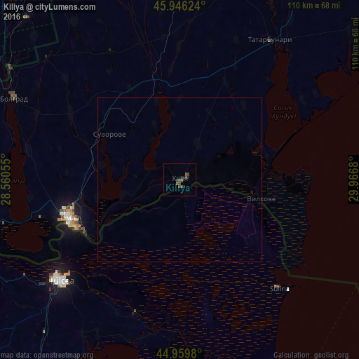
Analysis of Kiliya night lights 2016
Square area 10x10 km:
 0%
0%90-99
0%80-89
0%70-79
0%60-69
0%50-59
2.06%40-49
3.65%30-39
0.63%20-29
1.27%10-19
1.27%0-9
91.11%Square area 50x50 km:
0%90-99
0%80-89
0%70-79
0%60-69
0%50-59
0.08%40-49
0.14%30-39
0.02%20-29
0.05%10-19
0.07%0-9
99.64%Clear (daylight) street map image can be seen on geolist.org.
Map coordinates:
45° 56' 46.5" North, 28° 33' 38" East
45° 27' 18.6" North, 29° 15' 49.2" East
44° 57' 35.3" North, 29° 58' 0.5" East
Some cities around Kiliya sort by population:
• Tulcea, RO
47.2 km =29.3 mi,  229°
229°
• Izmayil
35.1 km =21.8 mi,  250°
250°
• Artsyz
60.9 km =37.8 mi,  11°
11°
• Bolhrad
56.5 km =35.1 mi,  296°
296°
• Tatarbunary
50.5 km =31.4 mi,  32°
32°
• Vylkove
25.8 km =16 mi,  103°
103°
• Shevchenkove
12.5 km =7.8 mi, 25°
• Ozerne
46.3 km =28.8 mi,  262°
262°
705883 (p: 21,754)
Sources (retrieved 2019-11-25):
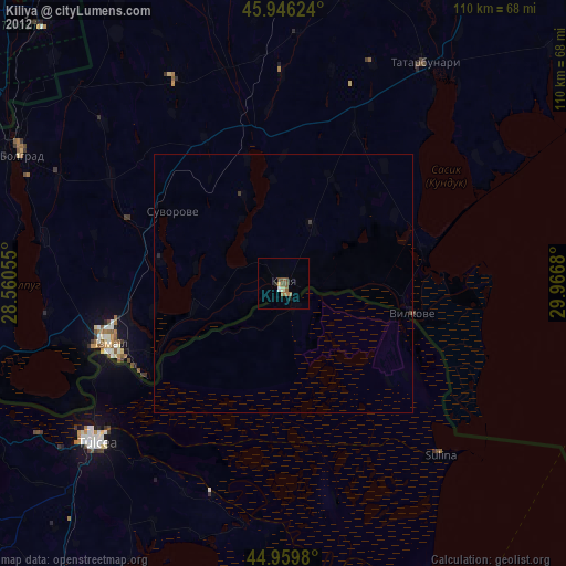
» Earth at Night: Flat Maps 2012, 2016