Izmayil night lights from space
Night Light of Izmayil (Odesa) from space (Ukraine) Src. Average luminocity for 10x10km area is 32.8333% and for 50x50km: 2.6787%.
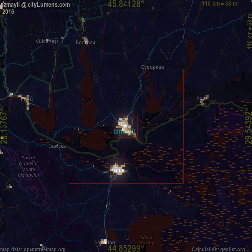
Analysis of Izmayil night lights 2016
Square area 10x10 km:
 3.17%
3.17%90-99
6.35%80-89
2.86%70-79
5.4%60-69
8.41%50-59
3.97%40-49
3.97%30-39
3.33%20-29
2.54%10-19
35.56%0-9
24.44%Square area 50x50 km:
0.4%90-99
0.52%80-89
0.19%70-79
0.35%60-69
0.35%50-59
0.22%40-49
0.28%30-39
0.24%20-29
0.22%10-19
3.06%0-9
94.18%Clear (daylight) street map image can be seen on geolist.org.
Map coordinates:
45° 50' 28.6" North, 28° 8' 15.6" East
45° 20' 57.4" North, 28° 50' 26.8" East
44° 51' 10.8" North, 29° 32' 38.1" East
Some cities around Izmayil sort by population:
• Tulcea, RO
19.2 km =11.9 mi,  188°
188°
• Kiliya
35.1 km =21.8 mi,  70°
70°
• Reni
45.4 km =28.2 mi,  285°
285°
• Bolhrad
41 km =25.5 mi,  334°
334°
• Sarichioi, RO
44.4 km =27.6 mi,  179°
179°
• Isaccea, RO
30.7 km =19.1 mi,  252°
252°
• Shevchenkove
44.8 km =27.8 mi,  59°
59°
• Ozerne
14.2 km =8.8 mi, 294°
707308 (p: 82,485)
Sources (retrieved 2019-11-25):
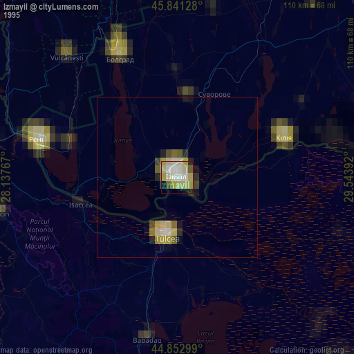
» NASA, Earths city lights 1995
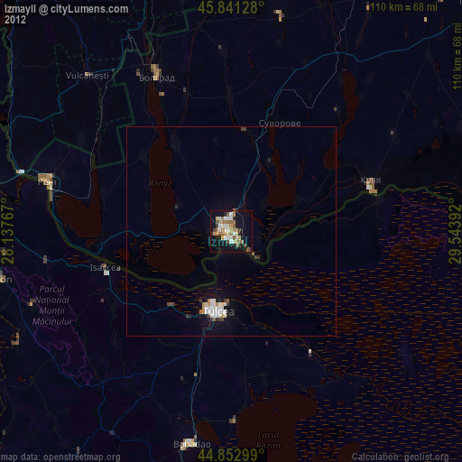
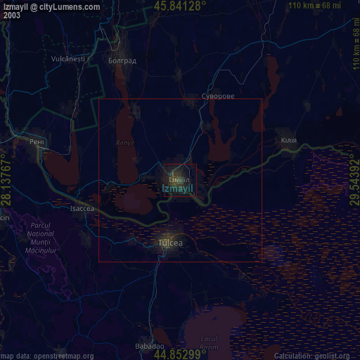
» NASA city lights 2003
» Earth at Night: Flat Maps 2012, 2016