Mlalo night lights from space
Night Light of Mlalo (Tanga) from space (Tanzania) Src. Average luminocity for 10x10km area is 0% and for 50x50km: 2.3811%.
Analysis of Mlalo night lights 2016
Square area 10x10 km:
100  0%
0%
90-99 0%
80-89 0%
70-79 0%
60-69 0%
50-59 0%
40-49 0%
30-39 0%
20-29 0%
10-19 0%
0-9 100%
0%90-99
0%80-89
0%70-79
0%60-69
0%50-59
0%40-49
0%30-39
0%20-29
0%10-19
0%0-9
100%Square area 50x50 km:
100 0.12%
90-99 0.5%
80-89 0.14%
70-79 0.27%
60-69 0.29%
50-59 0.26%
40-49 0.72%
30-39 0.39%
20-29 0.21%
10-19 2.41%
0-9 94.68%
0.12%90-99
0.5%80-89
0.14%70-79
0.27%60-69
0.29%50-59
0.26%40-49
0.72%30-39
0.39%20-29
0.21%10-19
2.41%0-9
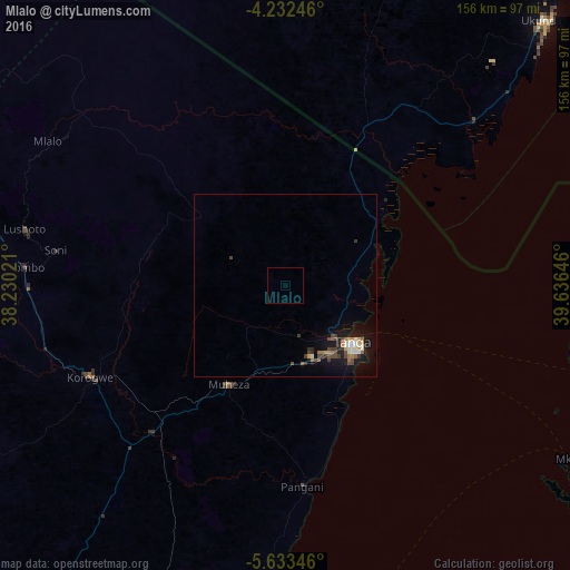
94.68%Clear (daylight) street map image can be seen on geolist.org.
Map coordinates:
4° 13' 56.9" South, 38° 13' 48.8" East
4° 55' 60" South, 38° 55' 60" East
5° 38' 0.5" South, 39° 38' 11.3" East
Some cities around Mlalo sort by population:
• Tanga
23.7 km =14.7 mi,  129°
129°
• Maramba
37.4 km =23.2 mi,  249°
249°
• Lushoto
73.9 km =45.9 mi,  283°
283°
• Matui
77.1 km =47.9 mi, 281°
• Muheza
30.8 km =19.1 mi,  212°
212°
• Soni
63.5 km =39.5 mi, 278°
• Majengo
24.7 km =15.3 mi,  167°
167°
• Pangani
54.9 km =34.1 mi,  175°
175°
153423 (p: 15,576)
Sources (retrieved 2019-11-25):
» Earth at Night: Flat Maps 2012, 2016