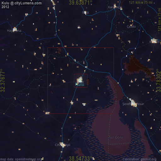
Kulu night lights from space
Night Light of Kulu (Konya) from space (Turkey) Src. Average luminocity for 10x10km area is 18.9529% and for 50x50km: 2.5059%.

Analysis of Kulu night lights 2016
Square area 10x10 km:
 0.49%
0.49%90-99
1.95%80-89
5.03%70-79
3.73%60-69
3.08%50-59
1.3%40-49
1.3%30-39
2.6%20-29
2.6%10-19
11.04%0-9
66.88%Square area 50x50 km:
0.02%90-99
0.44%80-89
0.4%70-79
0.36%60-69
0.33%50-59
0.3%40-49
0.51%30-39
0.57%20-29
0.46%10-19
0.52%0-9
96.1%Clear (daylight) street map image can be seen on geolist.org.
Map coordinates:
39° 38' 19.4" North, 32° 22' 36.4" East
39° 5' 42.5" North, 33° 4' 47.6" East
38° 32' 50.4" North, 33° 46' 58.9" East
Some cities around Kulu sort by population:
• Şereflikoçhisar
43.3 km =26.9 mi,  113°
113°
• Kaman
62.7 km =39 mi,  62°
62°
• Cihanbeyli
50.1 km =31.1 mi,  195°
195°
• Altpınar
31.1 km =19.3 mi,  292°
292°
• Haymana
62.6 km =38.9 mi,  306°
306°
• Sarıyahşi
66.9 km =41.6 mi,  100°
100°
• Karakeçili
61.1 km =38 mi,  24°
24°
• Ağaçören
76.4 km =47.5 mi, 108°
305742 (p: 47,037)
Sources (retrieved 2019-11-25):
» Earth at Night: Flat Maps 2012, 2016