İspir night lights from space
Night Light of İspir (Erzurum) from space (Turkey) Src. Average luminocity for 10x10km area is 8.2126% and for 50x50km: 0.6936%.
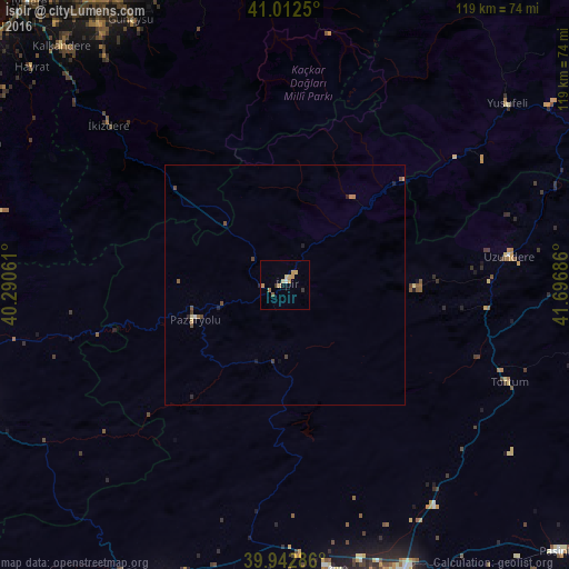
Analysis of İspir night lights 2016
Square area 10x10 km:
 0.34%
0.34%90-99
0.34%80-89
2.72%70-79
3.06%60-69
0.85%50-59
0.85%40-49
0%30-39
1.36%20-29
0%10-19
0%0-9
90.48%Square area 50x50 km:
0.02%90-99
0.03%80-89
0.13%70-79
0.16%60-69
0.08%50-59
0.12%40-49
0.17%30-39
0.13%20-29
0.16%10-19
0.07%0-9
98.93%Clear (daylight) street map image can be seen on geolist.org.
Map coordinates:
41° 0' 45" North, 40° 17' 26.2" East
40° 28' 47.3" North, 40° 59' 37.4" East
39° 56' 34.3" North, 41° 41' 48.7" East
Some cities around İspir sort by population:
• Erzurum
67.9 km =42.2 mi,  159°
159°
• Aşkale
67.1 km =41.7 mi,  202°
202°
• Ilıca
59.9 km =37.2 mi,  171°
171°
• Tortum
51 km =31.7 mi,  114°
114°
• Yusufeli
59.5 km =37 mi,  50°
50°
• Güneysu
64.7 km =40.2 mi,  329°
329°
• Pazaryolu
20.6 km =12.8 mi,  248°
248°
• Uzundere
46.4 km =28.8 mi,  82°
82°
745047 (p: 12,906)
Sources (retrieved 2019-11-25):
» Earth at Night: Flat Maps 2012, 2016