Adapazarı night lights from space
Night Light of Adapazarı (Sakarya) from space (Turkey) Src. Average luminocity for 10x10km area is 73.914% and for 50x50km: 18.26%.
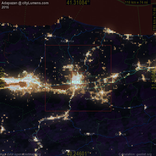
Analysis of Adapazarı night lights 2016
Square area 10x10 km:
 21.1%
21.1%90-99
23.38%80-89
8.6%70-79
4.87%60-69
8.6%50-59
11.85%40-49
6.82%30-39
8.6%20-29
4.22%10-19
1.95%0-9
0%Square area 50x50 km:
1.2%90-99
2.01%80-89
1.69%70-79
1.86%60-69
3.19%50-59
4.53%40-49
4.09%30-39
4.23%20-29
5.73%10-19
13.84%0-9
57.64%Clear (daylight) street map image can be seen on geolist.org.
Map coordinates:
41° 18' 39" North, 29° 42' 0.8" East
40° 46' 50" North, 30° 24' 12" East
40° 14' 45.6" North, 31° 6' 23.3" East
Some cities around Adapazarı sort by population:
• Hendek
29.1 km =18.1 mi,  85°
85°
• Sapanca
15.1 km =9.4 mi,  229°
229°
• Akyazı
21.3 km =13.2 mi,  119°
119°
• Ferizli
19.1 km =11.9 mi,  21°
21°
• Geyve
31.8 km =19.8 mi,  197°
197°
• Köseköy
33.8 km =21 mi,  262°
262°
• Söğütlü
15.2 km =9.4 mi, 23°
• Kaynarca
29 km =18 mi,  343°
343°
752850 (p: 286,787)
Sources (retrieved 2019-11-25):
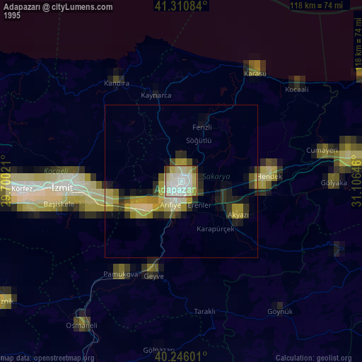
» NASA, Earths city lights 1995
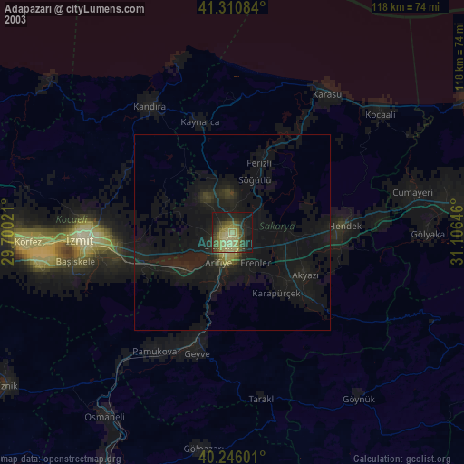
» NASA city lights 2003
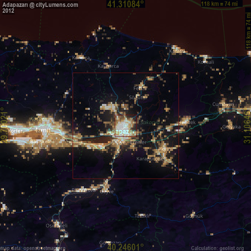
» Earth at Night: Flat Maps 2012, 2016