Ma‘arratmişrīn night lights from space
Night Light of Ma‘arratmişrīn (Idlib) from space (Syria) Src. Average luminocity for 10x10km area is 0% and for 50x50km: 0.4013%.
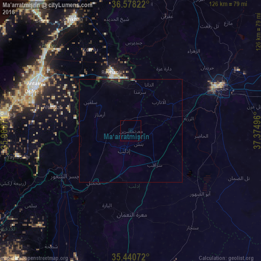
Analysis of Ma‘arratmişrīn night lights 2016
Square area 10x10 km:
 0%
0%90-99
0%80-89
0%70-79
0%60-69
0%50-59
0%40-49
0%30-39
0%20-29
0%10-19
0%0-9
100%Square area 50x50 km:
0%90-99
0%80-89
0.01%70-79
0.04%60-69
0%50-59
0.04%40-49
0.08%30-39
0.04%20-29
0.12%10-19
0.86%0-9
98.8%Clear (daylight) street map image can be seen on geolist.org.
Map coordinates:
36° 34' 41.6" North, 35° 58' 7.4" East
36° 0' 41.5" North, 36° 40' 18.6" East
35° 26' 26.6" North, 37° 22' 29.9" East
Some cities around Ma‘arratmişrīn sort by population:
• Idlib
9.6 km =6 mi,  200°
200°
• Reyhanlı, TR
30 km =18.6 mi,  341°
341°
• Jisr ash Shughūr
38.6 km =24 mi,  235°
235°
• Sarāqib
20.3 km =12.6 mi,  143°
143°
• Salqīn
24.3 km =15.1 mi,  305°
305°
• Binnish
7.2 km =4.5 mi,  148°
148°
• Kafr Takhārīm
18.3 km =11.4 mi, 309°
• Ad Dānā
24 km =14.9 mi,  21°
21°
167605 (p: 32,163)
Sources (retrieved 2019-11-25):
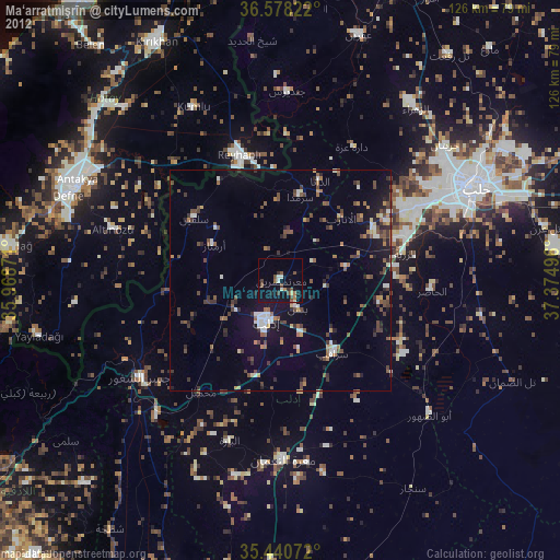
» Earth at Night: Flat Maps 2012, 2016