Šaľa night lights from space
Night Light of Šaľa (Nitriansky kraj) from space (Slovakia) Src. Average luminocity for 10x10km area is 15.1563% and for 50x50km: 7.6039%.
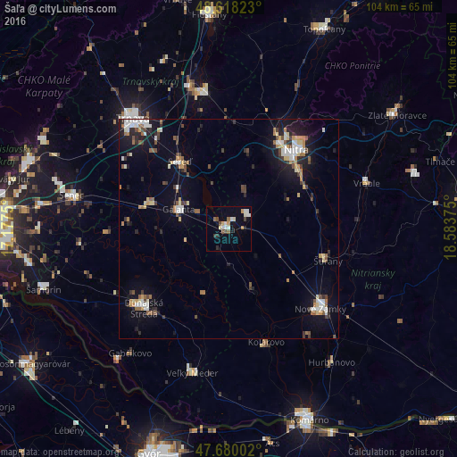
Analysis of Šaľa night lights 2016
Square area 10x10 km:
 2.68%
2.68%90-99
2.83%80-89
1.93%70-79
1.49%60-69
1.34%50-59
1.04%40-49
2.08%30-39
1.79%20-29
1.19%10-19
3.42%0-9
80.21%Square area 50x50 km:
1.06%90-99
1.19%80-89
0.82%70-79
0.69%60-69
0.87%50-59
0.88%40-49
1.13%30-39
0.73%20-29
1.62%10-19
5.3%0-9
85.71%Clear (daylight) street map image can be seen on geolist.org.
Map coordinates:
48° 37' 5.6" North, 17° 10' 39" East
48° 9' 4.6" North, 17° 52' 50.2" East
47° 40' 48.1" North, 18° 35' 1.5" East
Some cities around Šaľa sort by population:
• Nitra
23 km =14.3 mi,  40°
40°
• Nové Zámky
27.9 km =17.3 mi,  131°
131°
• Hlohovec
31.7 km =19.7 mi,  349°
349°
• Dunajská Streda
26.6 km =16.5 mi,  228°
228°
• Galanta
12.1 km =7.5 mi,  290°
290°
• Kolárovo
26.5 km =16.5 mi,  163°
163°
• Šurany
23.7 km =14.7 mi,  107°
107°
• Sládkovičovo
18.8 km =11.7 mi, 287°
3057769 (p: 24,513)
Sources (retrieved 2019-11-25):
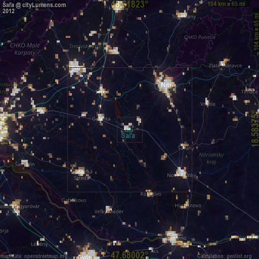
» Earth at Night: Flat Maps 2012, 2016