Olonkinbyen night lights from space
Night Light of Olonkinbyen (Jan Mayen) from space (Svalbard and Jan Mayen) Src. Average luminocity for 10x10km area is 0% and for 50x50km: 0%.
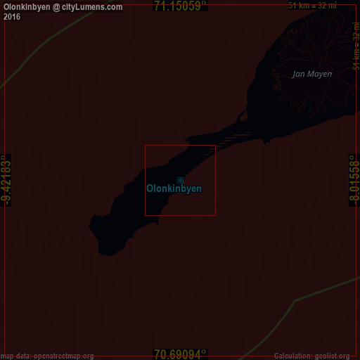
Analysis of Olonkinbyen night lights 2016
Square area 10x10 km:
 0%
0%90-99
0%80-89
0%70-79
0%60-69
0%50-59
0%40-49
0%30-39
0%20-29
0%10-19
0%0-9
100%Square area 50x50 km:
0%90-99
0%80-89
0%70-79
0%60-69
0%50-59
0%40-49
0%30-39
0%20-29
0%10-19
0%0-9
100%Clear (daylight) street map image can be seen on geolist.org.
Map coordinates:
71° 9' 2.1" North, 9° 25' 18.6" West
70° 55' 19.6" North, 8° 43' 7.3" West
70° 41' 27.4" North, 8° 0' 56.1" West
Some cities around Olonkinbyen sort by population:
• Akureyri, IS
696.6 km =432.8 mi,  213°
213°
• Mosfellsbær, IS
927.6 km =576.4 mi,  216°
216°
• Akranes, IS
922.2 km =573 mi, 217°
• Selfoss, IS
933.5 km =580.1 mi, 213°
• Ísafjörður, IS
793.7 km =493.2 mi,  227°
227°
• Sauðárkrókur, IS
727.3 km =451.9 mi, 217°
• Egilsstaðir, IS
670.8 km =416.8 mi,  200°
200°
• Borgarnes, IS
897.8 km =557.9 mi, 217°
7535941 (p: 14)
Sources (retrieved 2019-11-25):
» Earth at Night: Flat Maps 2012, 2016