Akureyri night lights from space
Night Light of Akureyri (Northeast) from space (Iceland) Src. Average luminocity for 10x10km area is 18.924% and for 50x50km: 0.8066%.
Analysis of Akureyri night lights 2016
Square area 10x10 km:
 4.4%
4.4%90-99
4.4%80-89
2.66%70-79
1.83%60-69
1.74%50-59
0.37%40-49
0%30-39
0.37%20-29
1.56%10-19
24.27%0-9
58.42%Square area 50x50 km:
0.17%90-99
0.17%80-89
0.1%70-79
0.07%60-69
0.07%50-59
0.01%40-49
0%30-39
0.04%20-29
0.06%10-19
1%0-9
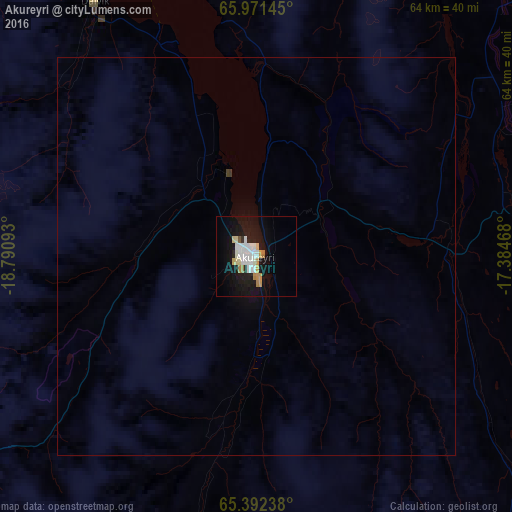
98.29%Clear (daylight) street map image can be seen on geolist.org.
Map coordinates:
65° 58' 17.2" North, 18° 47' 27.3" West
65° 41' 0.7" North, 18° 5' 16.1" West
65° 23' 32.6" North, 17° 23' 4.8" West
Some cities around Akureyri sort by population:
• Reykjavík
248.6 km =154.5 mi,  226°
226°
• Mosfellsbær
239.6 km =148.9 mi, 225°
• Akranes
240.8 km =149.6 mi, 231°
• Selfoss
238.4 km =148.1 mi,  215°
215°
• Ísafjörður
233.4 km =145 mi,  280°
280°
• Sauðárkrókur
71.3 km =44.3 mi, 275°
• Egilsstaðir
176.6 km =109.7 mi,  105°
105°
• Borgarnes
219.9 km =136.6 mi, 234°
2633274 (p: 17,693)
Sources (retrieved 2019-11-25):
» Earth at Night: Flat Maps 2012, 2016