Gornji Grad night lights from space
Night Light of Gornji Grad from space (Slovenia) Src. Average luminocity for 10x10km area is 0.753% and for 50x50km: 4.4623%.
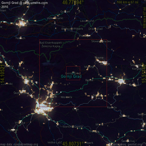
Analysis of Gornji Grad night lights 2016
Square area 10x10 km:
 0%
0%90-99
0%80-89
0%70-79
0%60-69
0%50-59
0.3%40-49
0.3%30-39
0.6%20-29
0.6%10-19
0%0-9
98.21%Square area 50x50 km:
0.4%90-99
0.61%80-89
0.37%70-79
0.46%60-69
0.59%50-59
0.67%40-49
1.13%30-39
0.8%20-29
1.28%10-19
2.82%0-9
90.9%Clear (daylight) street map image can be seen on geolist.org.
Map coordinates:
46° 46' 44.2" North, 14° 6' 18.8" East
46° 17' 43" North, 14° 48' 30" East
45° 48' 26.3" North, 15° 30' 41.3" East
Some cities around Gornji Grad sort by population:
• Mozirje
12.9 km =8 mi,  67°
67°
• Ljubno ob Savinji
5.7 km =3.5 mi,  19°
19°
• Nazarje
10.9 km =6.8 mi,  76°
76°
• Vransko
12.4 km =7.7 mi,  117°
117°
• Rečica ob Savinji
8.7 km =5.4 mi, 74°
• Lukovica pri Domžalah
16.6 km =10.3 mi,  212°
212°
• Luče
8.3 km =5.2 mi,  325°
325°
• Solčava
16.4 km =10.2 mi, 327°
3200016 (p: 1,048)
Sources (retrieved 2019-11-25):
» Earth at Night: Flat Maps 2012, 2016