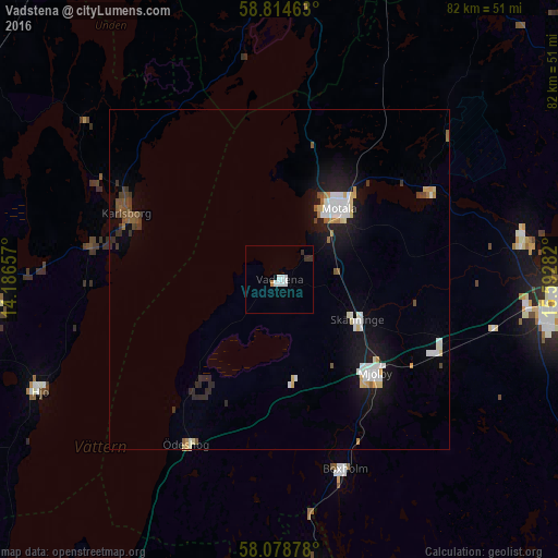
Vadstena night lights from space
Night Light of Vadstena (Östergötland) from space (Sweden) Src. Average luminocity for 10x10km area is 5.1145% and for 50x50km: 3.7478%.
Analysis of Vadstena night lights 2016
Square area 10x10 km:
 1.7%
1.7%90-99
1.47%80-89
0%70-79
0.23%60-69
0.23%50-59
0%40-49
0%30-39
1.47%20-29
0.34%10-19
0%0-9
94.56%Square area 50x50 km:
0.73%90-99
0.69%80-89
0.41%70-79
0.26%60-69
0.24%50-59
0.44%40-49
0.3%30-39
0.43%20-29
0.58%10-19
2.93%0-9
92.99%Clear (daylight) street map image can be seen on geolist.org.
Map coordinates:
58° 48' 52.7" North, 14° 11' 11.7" East
58° 26' 55.1" North, 14° 53' 22.9" East
58° 4' 43.6" North, 15° 35' 34.2" East
Some cities around Vadstena sort by population:
• Linköping
42.8 km =26.6 mi,  95°
95°
• Motala
13 km =8.1 mi,  40°
40°
• Tranås
46 km =28.6 mi,  173°
173°
• Mjölby
19.3 km =12 mi,  135°
135°
• Tibro
42.5 km =26.4 mi,  266°
266°
• Ljungsbro
36.3 km =22.6 mi,  77°
77°
• Hjo
38.7 km =24 mi,  244°
244°
• Malmslätt
36.7 km =22.8 mi, 96°
2665902 (p: 5,674)
Sources (retrieved 2019-11-25):
» Earth at Night: Flat Maps 2012, 2016