Hjo night lights from space
Night Light of Hjo (Västra Götaland) from space (Sweden) Src. Average luminocity for 10x10km area is 7.0125% and for 50x50km: 2.8201%.
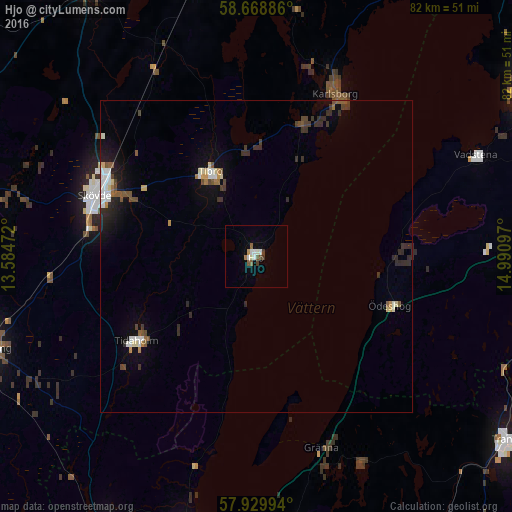
Analysis of Hjo night lights 2016
Square area 10x10 km:
 0.57%
0.57%90-99
2.61%80-89
0%70-79
0.45%60-69
0.45%50-59
1.81%40-49
1.02%30-39
0.79%20-29
0%10-19
0%0-9
92.29%Square area 50x50 km:
0.37%90-99
0.47%80-89
0.26%70-79
0.16%60-69
0.2%50-59
0.46%40-49
0.47%30-39
0.6%20-29
0.73%10-19
1.29%0-9
94.97%Clear (daylight) street map image can be seen on geolist.org.
Map coordinates:
58° 40' 7.9" North, 13° 35' 5" East
58° 18' 4.8" North, 14° 17' 16.2" East
57° 55' 47.8" North, 14° 59' 27.5" East
Some cities around Hjo sort by population:
• Skövde
27.7 km =17.2 mi,  291°
291°
• Falköping
45.4 km =28.2 mi,  251°
251°
• Mjölby
48.9 km =30.4 mi,  86°
86°
• Tibro
15.6 km =9.7 mi,  331°
331°
• Tidaholm
23.5 km =14.6 mi,  235°
235°
• Habo
45.1 km =28 mi,  196°
196°
• Vadstena
38.7 km =24 mi,  64°
64°
• Åkarp
38.1 km =23.7 mi,  258°
258°
2706184 (p: 6,203)
Sources (retrieved 2019-11-25):
» Earth at Night: Flat Maps 2012, 2016