Mariestad night lights from space
Night Light of Mariestad (Västra Götaland) from space (Sweden) Src. Average luminocity for 10x10km area is 15.7483% and for 50x50km: 1.4046%.
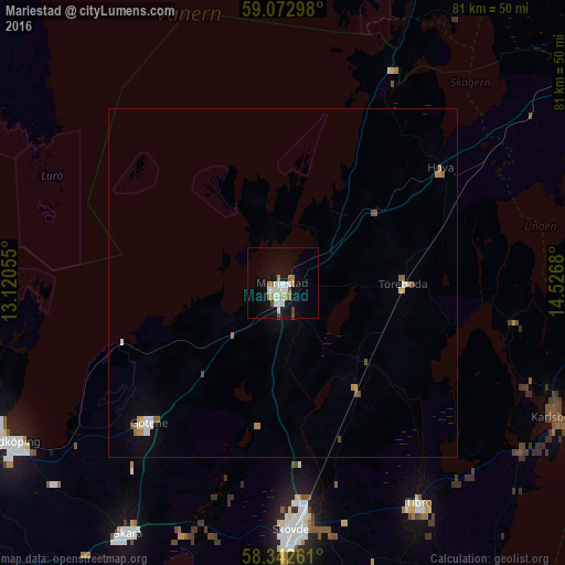
Analysis of Mariestad night lights 2016
Square area 10x10 km:
 2.95%
2.95%90-99
4.76%80-89
0%70-79
2.15%60-69
1.93%50-59
0.91%40-49
1.81%30-39
0%20-29
0%10-19
15.53%0-9
69.95%Square area 50x50 km:
0.21%90-99
0.3%80-89
0.06%70-79
0.26%60-69
0.2%50-59
0.13%40-49
0.22%30-39
0.01%20-29
0%10-19
0.71%0-9
97.9%Clear (daylight) street map image can be seen on geolist.org.
Map coordinates:
59° 4' 22.7" North, 13° 7' 14" East
58° 42' 35" North, 13° 49' 25.2" East
58° 20' 33.4" North, 14° 31' 36.5" East
Some cities around Mariestad sort by population:
• Skövde
35.4 km =22 mi,  177°
177°
• Lidköping
44.8 km =27.8 mi,  239°
239°
• Skara
42.3 km =26.3 mi,  211°
211°
• Tibro
37.3 km =23.2 mi,  148°
148°
• Tidaholm
59.4 km =36.9 mi,  172°
172°
• Hjo
52.8 km =32.8 mi, 149°
• Åkarp
53.9 km =33.5 mi,  190°
190°
• Götene
27.8 km =17.3 mi,  223°
223°
2692613 (p: 16,122)
Sources (retrieved 2019-11-25):
» Earth at Night: Flat Maps 2012, 2016