Huddinge night lights from space
Night Light of Huddinge (Stockholm) from space (Sweden) Src. Average luminocity for 10x10km area is 73.7664% and for 50x50km: 33.838%.
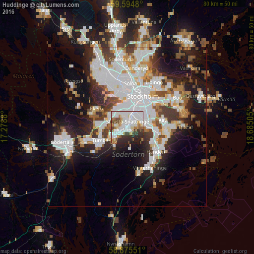
Analysis of Huddinge night lights 2016
Square area 10x10 km:
 28.46%
90-99
21.54%80-89
5.9%70-79
5.67%60-69
5.78%50-59
4.99%40-49
4.88%30-39
9.52%20-29
11.68%10-19
1.59%0-9
0%Square area 50x50 km:
11.01%90-99
8.62%80-89
2.29%70-79
2.93%60-69
2.54%50-59
2.87%40-49
3.59%30-39
3.55%20-29
6.36%10-19
13.14%0-9
43.1%Clear (daylight) street map image can be seen on geolist.org.
Map coordinates:
59° 35' 41.3" North, 17° 16' 43.7" East
59° 14' 13.4" North, 17° 58' 54.9" East
58° 52' 31.8" North, 18° 41' 6.2" East
Some cities around Huddinge sort by population:
• Södermalm
10 km =6.2 mi,  32°
32°
• Tumba
9.5 km =5.9 mi,  243°
243°
• Årsta
7.8 km =4.8 mi, 30°
• Tullinge
6.2 km =3.9 mi,  228°
228°
• Alby
7.3 km =4.5 mi,  266°
266°
• Segeltorp
5.2 km =3.2 mi,  326°
326°
• Vårby
6.5 km =4 mi,  300°
300°
• Fittja
7.1 km =4.4 mi,  280°
280°
2704620 (p: 90,182)
Sources (retrieved 2019-11-25):
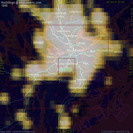
» NASA, Earths city lights 1995
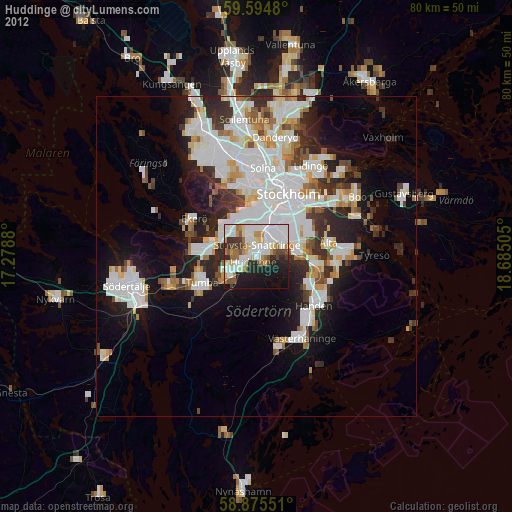
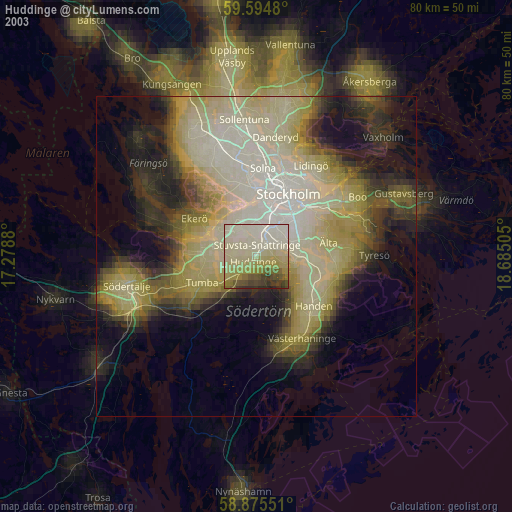
» NASA city lights 2003
» Earth at Night: Flat Maps 2012, 2016