Zima night lights from space
Night Light of Zima (Irkutsk Oblast) from space (Russia) Src. Average luminocity for 10x10km area is 25.2037% and for 50x50km: 2.1078%.
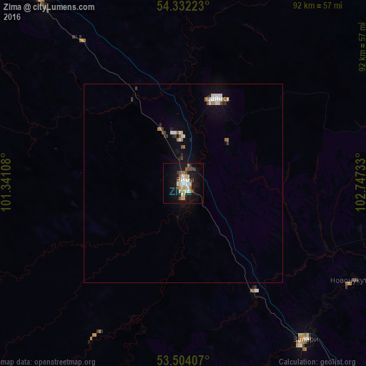
Analysis of Zima night lights 2016
Square area 10x10 km:
 2.91%
2.91%90-99
5.95%80-89
2.25%70-79
3.17%60-69
4.5%50-59
2.51%40-49
3.04%30-39
1.59%20-29
1.59%10-19
28.44%0-9
44.05%Square area 50x50 km:
0.3%90-99
0.39%80-89
0.16%70-79
0.14%60-69
0.36%50-59
0.22%40-49
0.23%30-39
0.19%20-29
0.18%10-19
1.69%0-9
96.12%Clear (daylight) street map image can be seen on geolist.org.
Map coordinates:
54° 19' 56" North, 101° 20' 27.9" East
53° 55' 12.7" North, 102° 2' 39.1" East
53° 30' 14.7" North, 102° 44' 50.4" East
Some cities around Zima sort by population:
• Cheremkhovo
108.6 km =67.5 mi,  141°
141°
• Tulun
119 km =73.9 mi,  306°
306°
• Sayansk
22.4 km =13.9 mi,  20°
20°
• Svirsk
126 km =78.3 mi, 137°
• Kuytun
58.5 km =36.4 mi,  323°
323°
• Zalari
50.4 km =31.3 mi, 142°
• Kutulik
79.9 km =49.6 mi, 142°
• Ust’-Uda
70.3 km =43.7 mi,  66°
66°
2012484 (p: 33,323)
Sources (retrieved 2019-11-25):
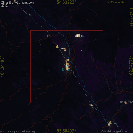
» Earth at Night: Flat Maps 2012, 2016