Zaterechnyy night lights from space
Night Light of Zaterechnyy (Stavropol’ Kray) from space (Russia) Src. Average luminocity for 10x10km area is 1.1682% and for 50x50km: 0.4299%.
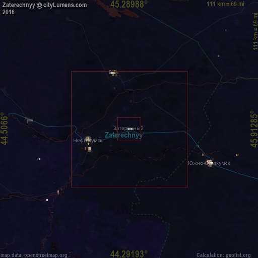
Analysis of Zaterechnyy night lights 2016
Square area 10x10 km:
 0%
0%90-99
0%80-89
0%70-79
0%60-69
0.61%50-59
0.61%40-49
0%30-39
0.61%20-29
0.61%10-19
0%0-9
97.58%Square area 50x50 km:
0.04%90-99
0.05%80-89
0.02%70-79
0.05%60-69
0.05%50-59
0.07%40-49
0.13%30-39
0.14%20-29
0.12%10-19
0.09%0-9
99.23%Clear (daylight) street map image can be seen on geolist.org.
Map coordinates:
45° 17' 23.6" North, 44° 30' 23.8" East
44° 47' 35" North, 45° 12' 35" East
44° 17' 30.9" North, 45° 54' 46.3" East
Some cities around Zaterechnyy sort by population:
• Neftekumsk
17.6 km =10.9 mi,  256°
256°
• Praskoveya
79.6 km =49.5 mi,  266°
266°
• Levokumskoye
43.4 km =27 mi, 274°
• Yuzhno-Sukhokumsk
37.4 km =23.2 mi,  113°
113°
• Pokoynoye
75.6 km =47 mi, 271°
• Achikulak
39.8 km =24.7 mi,  227°
227°
• Stepnoye
76.3 km =47.4 mi,  220°
220°
• Pravokumskoye
44.5 km =27.7 mi, 266°
464260 (p: 7,835)
Sources (retrieved 2019-11-25):
» Earth at Night: Flat Maps 2012, 2016