Zarechnyy night lights from space
Night Light of Zarechnyy (Penza) from space (Russia) Src. Average luminocity for 10x10km area is 11.6061% and for 50x50km: 0.6694%.
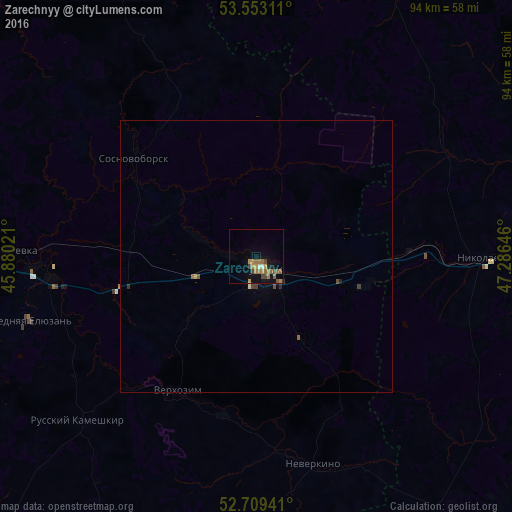
Analysis of Zarechnyy night lights 2016
Square area 10x10 km:
 0.25%
0.25%90-99
0.76%80-89
0%70-79
2.78%60-69
4.17%50-59
3.54%40-49
2.65%30-39
0.76%20-29
0.38%10-19
1.89%0-9
82.83%Square area 50x50 km:
0.01%90-99
0.05%80-89
0.01%70-79
0.12%60-69
0.18%50-59
0.21%40-49
0.16%30-39
0.11%20-29
0.05%10-19
0.1%0-9
98.99%Clear (daylight) street map image can be seen on geolist.org.
Map coordinates:
53° 33' 11.2" North, 45° 52' 48.8" East
53° 7' 60" North, 46° 34' 60" East
52° 42' 33.9" North, 47° 17' 11.3" East
Some cities around Zarechnyy sort by population:
• Kuznetsk
2.2 km =1.4 mi,  148°
148°
• Srednyaya Yelyuzan’
43.8 km =27.2 mi,  253°
253°
• Sosnovoborsk
28.3 km =17.6 mi,  308°
308°
• Chaadayevka
44.8 km =27.8 mi,  271°
271°
• Nikolayevka
41.4 km =25.7 mi,  91°
91°
• Russkiy Kameshkir
45 km =28 mi,  227°
227°
• Makhalino
24.8 km =15.4 mi,  257°
257°
• Neverkino
40.1 km =24.9 mi,  164°
164°
831165 (p: 62,139)
Sources (retrieved 2019-11-25):
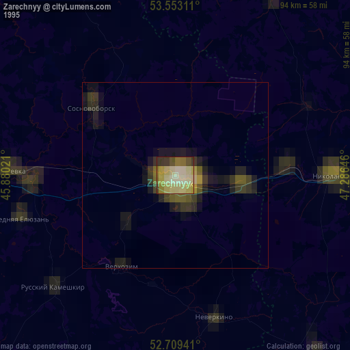
» NASA, Earths city lights 1995
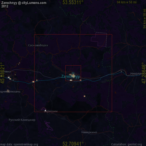
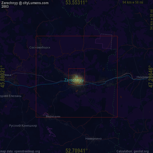
» NASA city lights 2003
» Earth at Night: Flat Maps 2012, 2016