Russkiy Kameshkir night lights from space
Night Light of Russkiy Kameshkir (Penza) from space (Russia) Src. Average luminocity for 10x10km area is 0% and for 50x50km: 0.1204%.
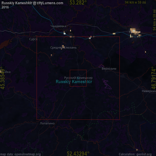
Analysis of Russkiy Kameshkir night lights 2016
Square area 10x10 km:
 0%
0%90-99
0%80-89
0%70-79
0%60-69
0%50-59
0%40-49
0%30-39
0%20-29
0%10-19
0%0-9
100%Square area 50x50 km:
0.01%90-99
0.02%80-89
0%70-79
0%60-69
0.04%50-59
0.01%40-49
0.07%30-39
0.08%20-29
0.01%10-19
0.02%0-9
99.76%Clear (daylight) street map image can be seen on geolist.org.
Map coordinates:
53° 16' 55.2" North, 45° 23' 7.8" East
52° 51' 34.4" North, 46° 5' 19" East
52° 25' 58.6" North, 46° 47' 30.3" East
Some cities around Russkiy Kameshkir sort by population:
• Kuznetsk
44.6 km =27.7 mi,  50°
50°
• Zarechnyy
45 km =28 mi, 47°
• Srednyaya Yelyuzan’
20.4 km =12.7 mi,  333°
333°
• Sursk
36.2 km =22.5 mi,  311°
311°
• Chaadayevka
33.6 km =20.9 mi,  339°
339°
• Shemysheyka
46.8 km =29.1 mi,  274°
274°
• Makhalino
26.6 km =16.5 mi,  19°
19°
• Neverkino
44.7 km =27.8 mi,  100°
100°
500400 (p: 5,305)
Sources (retrieved 2019-11-25):
» Earth at Night: Flat Maps 2012, 2016