Vysokiy night lights from space
Night Light of Vysokiy (Murmansk) from space (Russia) Src. Average luminocity for 10x10km area is 4.0909% and for 50x50km: 2.1235%.
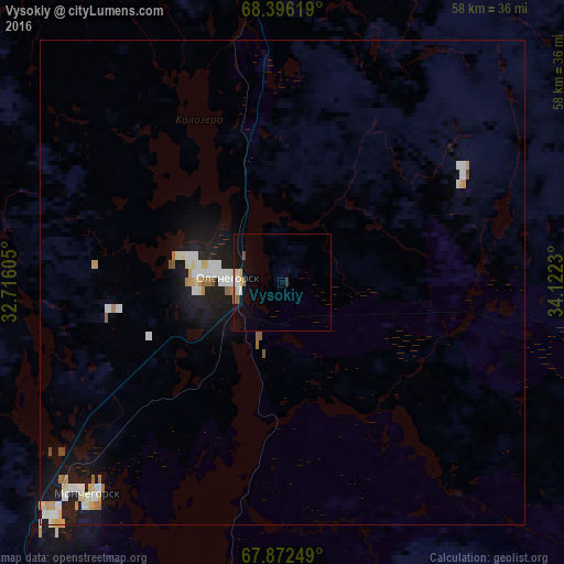
Analysis of Vysokiy night lights 2016
Square area 10x10 km:
 0.47%
0.47%90-99
0.63%80-89
0.71%70-79
0.39%60-69
0.55%50-59
0.47%40-49
0.24%30-39
0%20-29
0.31%10-19
3.13%0-9
93.1%Square area 50x50 km:
0.38%90-99
0.51%80-89
0.26%70-79
0.22%60-69
0.22%50-59
0.13%40-49
0.08%30-39
0%20-29
0.13%10-19
2.38%0-9
95.69%Clear (daylight) street map image can be seen on geolist.org.
Map coordinates:
68° 23' 46.3" North, 32° 42' 57.8" East
68° 8' 9" North, 33° 25' 9" East
67° 52' 21" North, 34° 7' 20.3" East
Some cities around Vysokiy sort by population:
• Apatity
63.6 km =39.5 mi,  180°
180°
• Monchegorsk
31.5 km =19.6 mi,  226°
226°
• Kirovsk
58.9 km =36.6 mi,  169°
169°
• Olenegorsk
6.9 km =4.3 mi,  276°
276°
• Murmashi
79.5 km =49.4 mi,  341°
341°
• Kola
84.4 km =52.4 mi,  348°
348°
• Revda
52.4 km =32.6 mi,  114°
114°
• Molochnyy
81.5 km =50.6 mi, 348°
11888168 (p: 6,860)
Sources (retrieved 2019-11-25):
» Earth at Night: Flat Maps 2012, 2016