Uzlovaya night lights from space
Night Light of Uzlovaya (Tula) from space (Russia) Src. Average luminocity for 10x10km area is 9.9369% and for 50x50km: 4.3314%.
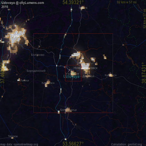
Analysis of Uzlovaya night lights 2016
Square area 10x10 km:
 0%
0%90-99
0%80-89
0.13%70-79
1.89%60-69
1.77%50-59
2.53%40-49
2.27%30-39
0.88%20-29
2.53%10-19
11.24%0-9
76.77%Square area 50x50 km:
0.54%90-99
0.64%80-89
0.31%70-79
0.47%60-69
0.54%50-59
0.64%40-49
0.8%30-39
0.69%20-29
1.37%10-19
3.24%0-9
90.74%Clear (daylight) street map image can be seen on geolist.org.
Map coordinates:
54° 23' 35.6" North, 37° 28' 5" East
53° 58' 54.4" North, 38° 10' 16.2" East
53° 33' 58.6" North, 38° 52' 27.5" East
Some cities around Uzlovaya sort by population:
• Novomoskovsk
8.1 km =5 mi,  66°
66°
• Donskoy
10.9 km =6.8 mi,  96°
96°
• Kireyevsk
16.8 km =10.4 mi,  251°
251°
• Severo-Zadonsk
16.2 km =10.1 mi, 68°
• Dubovka
7.8 km =4.8 mi, 245°
• Gritsovskiy
17.3 km =10.7 mi,  357°
357°
• Borodinskiy
23.2 km =14.4 mi,  274°
274°
• Shvartsevskiy
17 km =10.6 mi,  316°
316°
477494 (p: 58,458)
Sources (retrieved 2019-11-25):
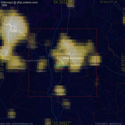
» NASA, Earths city lights 1995
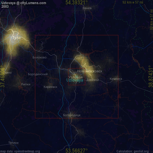
» NASA city lights 2003
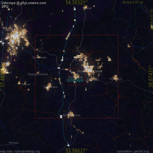
» Earth at Night: Flat Maps 2012, 2016