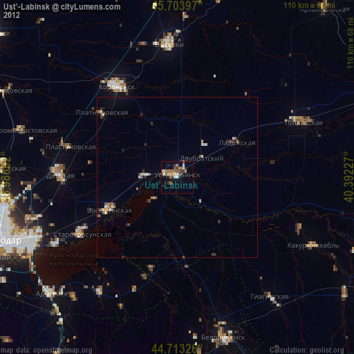
Ust’-Labinsk night lights from space
Night Light of Ust’-Labinsk (Krasnodarskiy) from space (Russia) Src. Average luminocity for 10x10km area is 25.5439% and for 50x50km: 2.7083%.
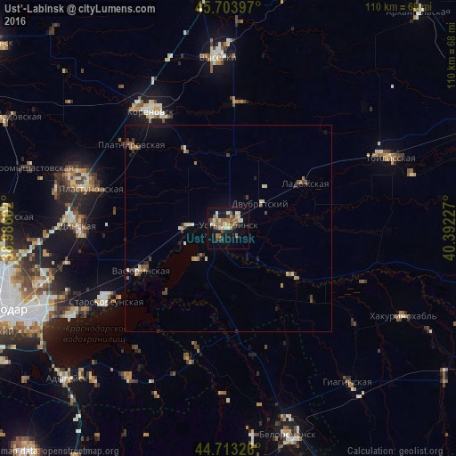
Analysis of Ust’-Labinsk night lights 2016
Square area 10x10 km:
 0.3%
0.3%90-99
5%80-89
5.61%70-79
1.21%60-69
4.7%50-59
6.06%40-49
3.64%30-39
1.82%20-29
3.79%10-19
23.18%0-9
44.7%Square area 50x50 km:
0.04%90-99
0.4%80-89
0.47%70-79
0.15%60-69
0.49%50-59
0.51%40-49
0.44%30-39
0.33%20-29
0.46%10-19
1.63%0-9
95.09%Clear (daylight) street map image can be seen on geolist.org.
Map coordinates:
45° 42' 14.3" North, 38° 59' 9.7" East
45° 12' 38.8" North, 39° 41' 20.9" East
44° 42' 47.7" North, 40° 23' 32.2" East
Some cities around Ust’-Labinsk sort by population:
• Ladozhskaya
22.3 km =13.9 mi,  60°
60°
• Vasyurinskaya
23.2 km =14.4 mi,  243°
243°
• Platnirovskaya
31.5 km =19.6 mi,  310°
310°
• Starokorsunskaya
33.9 km =21.1 mi, 239°
• Dvubratskiy
9.6 km =6 mi,  70°
70°
• Krasnogvardeyskoye
13 km =8.1 mi,  224°
224°
• Velikovechnoye
31.2 km =19.4 mi,  170°
170°
• Ryazanskaya
29.5 km =18.3 mi,  195°
195°
478044 (p: 44,088)
Sources (retrieved 2019-11-25):
» Earth at Night: Flat Maps 2012, 2016