Uspenskoye night lights from space
Night Light of Uspenskoye (Krasnodarskiy) from space (Russia) Src. Average luminocity for 10x10km area is 6.6857% and for 50x50km: 3.1691%.
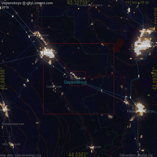
Analysis of Uspenskoye night lights 2016
Square area 10x10 km:
 0%
0%90-99
2.54%80-89
0%70-79
0.79%60-69
1.75%50-59
1.27%40-49
0.63%30-39
0.63%20-29
1.27%10-19
0%0-9
91.11%Square area 50x50 km:
0.72%90-99
0.82%80-89
0.13%70-79
0.26%60-69
0.19%50-59
0.22%40-49
0.34%30-39
0.42%20-29
1.36%10-19
1.78%0-9
93.76%Clear (daylight) street map image can be seen on geolist.org.
Map coordinates:
45° 19' 39.3" North, 40° 41' 22.5" East
44° 49' 52" North, 41° 23' 33.7" East
44° 19' 49.1" North, 42° 5' 45" East
Some cities around Uspenskoye sort by population:
• Armavir
27.5 km =17.1 mi,  309°
309°
• Kochubeyevskoye
41.3 km =25.7 mi,  120°
120°
• Sovetskaya
18.4 km =11.4 mi,  250°
250°
• Konokovo
6.2 km =3.9 mi,  303°
303°
• Staraya Stanitsa
27.5 km =17.1 mi,  316°
316°
• Poputnaya
35.6 km =22.1 mi,  174°
174°
• Besskorbnaya
21.7 km =13.5 mi,  197°
197°
• Barsukovskaya
34.5 km =21.4 mi,  102°
102°
478197 (p: 11,843)
Sources (retrieved 2019-11-25):
» Earth at Night: Flat Maps 2012, 2016