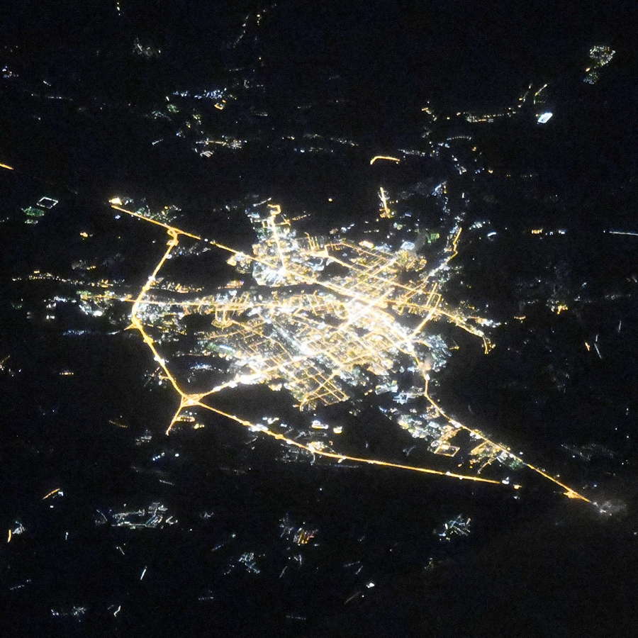
Tver night lights from space
Night Light of Tver (Tver’ Oblast) from space (Russia) Src. Average luminocity for 10x10km area is 79.2738% and for 50x50km: 6.165%.
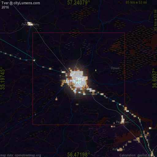
Analysis of Tver night lights 2016
Square area 10x10 km:
 34.4%
34.4%90-99
25.48%80-89
5.24%70-79
5.48%60-69
5.12%50-59
4.4%40-49
2.74%30-39
6.79%20-29
6.67%10-19
3.57%0-9
0.12%Square area 50x50 km:
1.67%90-99
1.34%80-89
0.49%70-79
0.43%60-69
0.49%50-59
0.54%40-49
0.61%30-39
0.94%20-29
1.65%10-19
3.46%0-9
88.38%Clear (daylight) street map image can be seen on geolist.org.
Map coordinates:
57° 14' 26.8" North, 35° 11' 50.8" East
56° 51' 30.1" North, 35° 54' 2.1" East
56° 28' 19.1" North, 36° 36' 13.3" East
Fantastic image of Tver from space taken by astronauts [src2], but I don't have information about it's orientation, scale or angle. If necessary, it was rotated manually, so North points approximately to upper direction. Click to zoom in:
Some cities around Tver sort by population:
• Torzhok
60.5 km =37.6 mi,  289°
289°
• Konakovo
55.6 km =34.5 mi,  108°
108°
• Likhoslavl’
39.9 km =24.8 mi,  318°
318°
• Redkino
33.7 km =20.9 mi,  134°
134°
• Staritsa
70.7 km =43.9 mi,  236°
236°
• Novozavidovskiy
47.3 km =29.4 mi,  136°
136°
• Zavidovo
52.9 km =32.9 mi, 133°
• Kalashnikovo
62.3 km =38.7 mi, 319°
480060 (p: 400,212)
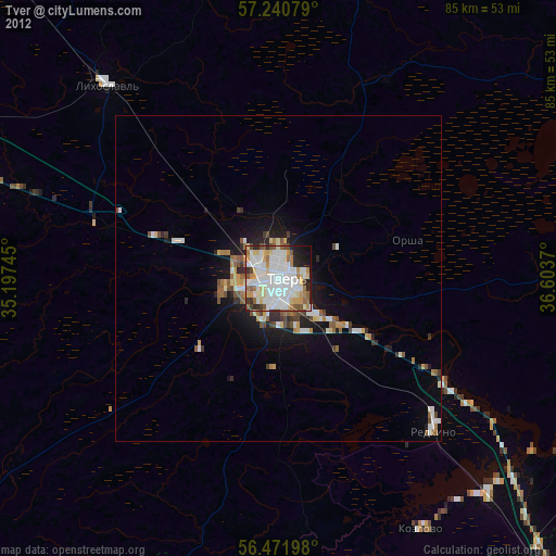
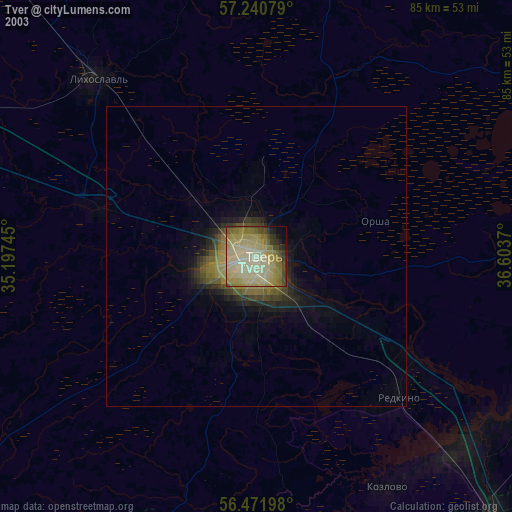
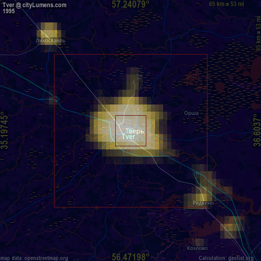
Sources (retrieved 2019-11-25):
» NASA, Earths city lights 1995
» NASA city lights 2003
» Earth at Night: Flat Maps 2012, 2016
Src.2: picture by Oleg Kononenko, Roscosmos, retrieved 2019-11-29