Sovetsk night lights from space
Night Light of Sovetsk (Kirov) from space (Russia) Src. Average luminocity for 10x10km area is 0% and for 50x50km: 0%.
Analysis of Sovetsk night lights 2016
Square area 10x10 km:
100  0%
0%
90-99 0%
80-89 0%
70-79 0%
60-69 0%
50-59 0%
40-49 0%
30-39 0%
20-29 0%
10-19 0%
0-9 100%
0%90-99
0%80-89
0%70-79
0%60-69
0%50-59
0%40-49
0%30-39
0%20-29
0%10-19
0%0-9
100%Square area 50x50 km:
100 0%
90-99 0%
80-89 0%
70-79 0%
60-69 0%
50-59 0%
40-49 0%
30-39 0%
20-29 0%
10-19 0%
0-9 100%
0%90-99
0%80-89
0%70-79
0%60-69
0%50-59
0%40-49
0%30-39
0%20-29
0%10-19
0%0-9
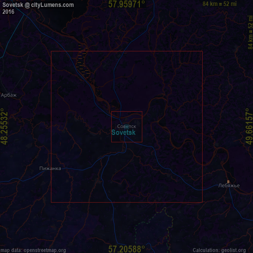
100%Clear (daylight) street map image can be seen on geolist.org.
Map coordinates:
57° 57' 35" North, 48° 15' 19.2" East
57° 35' 5.1" North, 48° 57' 30.4" East
57° 12' 21.2" North, 49° 39' 41.7" East
Some cities around Sovetsk sort by population:
• Kotel’nich
88.2 km =54.8 mi,  335°
335°
• Yaransk
71.4 km =44.4 mi,  244°
244°
• Urzhum
81.5 km =50.6 mi,  129°
129°
• Nolinsk
58.4 km =36.3 mi,  92°
92°
• Sernur
73.4 km =45.6 mi,  170°
170°
• Kuzhener
86.1 km =53.5 mi,  181°
181°
• Kumëny
81.3 km =50.5 mi,  44°
44°
• Tuzha
61 km =37.9 mi,  272°
272°
490067 (p: 17,869)
Sources (retrieved 2019-11-25):
» Earth at Night: Flat Maps 2012, 2016