Mari-Turek night lights from space
Night Light of Mari-Turek (Mariy-El Republic) from space (Russia) Src. Average luminocity for 10x10km area is 0% and for 50x50km: 0%.
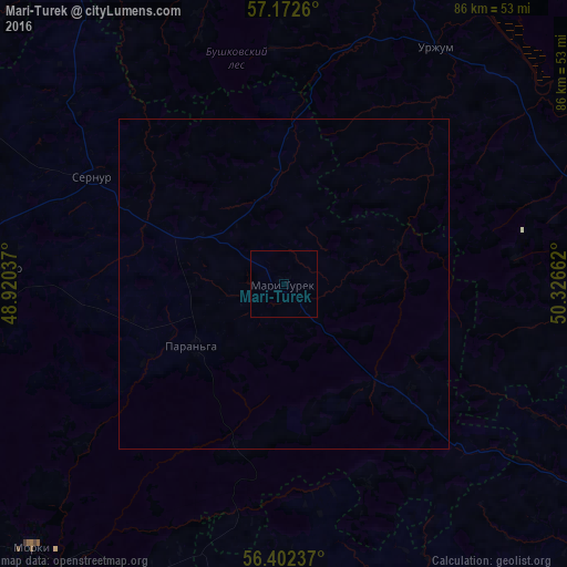
Analysis of Mari-Turek night lights 2016
Square area 10x10 km:
 0%
0%90-99
0%80-89
0%70-79
0%60-69
0%50-59
0%40-49
0%30-39
0%20-29
0%10-19
0%0-9
100%Square area 50x50 km:
0%90-99
0%80-89
0%70-79
0%60-69
0%50-59
0%40-49
0%30-39
0%20-29
0%10-19
0%0-9
100%Clear (daylight) street map image can be seen on geolist.org.
Map coordinates:
57° 10' 21.4" North, 48° 55' 13.3" East
56° 47' 22.1" North, 49° 37' 24.6" East
56° 24' 8.5" North, 50° 19' 35.8" East
Some cities around Mari-Turek sort by population:
• Urzhum
42.7 km =26.5 mi,  32°
32°
• Sovetskiy
70 km =43.5 mi,  267°
267°
• Morki
55.5 km =34.5 mi,  223°
223°
• Malmyzh
71.3 km =44.3 mi,  114°
114°
• Sernur
32.7 km =20.3 mi,  299°
299°
• Baltasi
60.9 km =37.8 mi,  144°
144°
• Paran’ga
16.4 km =10.2 mi,  234°
234°
• Kuzhener
43.3 km =26.9 mi, 273°
529195 (p: 5,900)
Sources (retrieved 2019-11-25):
» Earth at Night: Flat Maps 2012, 2016