Baltasi night lights from space
Night Light of Baltasi (Tatarstan Republic) from space (Russia) Src. Average luminocity for 10x10km area is 4.2429% and for 50x50km: 0.4336%.
Analysis of Baltasi night lights 2016
Square area 10x10 km:
 0%
0%90-99
0.83%80-89
0.71%70-79
1.79%60-69
0.6%50-59
0.36%40-49
0%30-39
0.48%20-29
0.48%10-19
0%0-9
94.76%Square area 50x50 km:
0.07%90-99
0.12%80-89
0.05%70-79
0.07%60-69
0.03%50-59
0.03%40-49
0%30-39
0.04%20-29
0.02%10-19
0.04%0-9
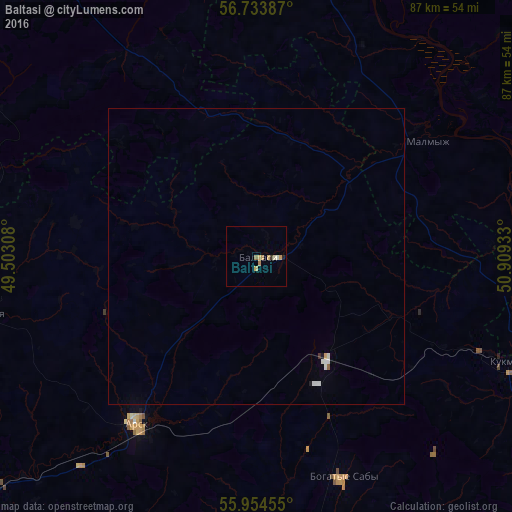
99.54%Clear (daylight) street map image can be seen on geolist.org.
Map coordinates:
56° 44' 1.9" North, 49° 30' 11.1" East
56° 20' 46.3" North, 50° 12' 22.3" East
55° 57' 16.4" North, 50° 54' 33.6" East
Some cities around Baltasi sort by population:
• Vyatskiye Polyany
54.7 km =34 mi,  104°
104°
• Arsk
34.8 km =21.6 mi,  215°
215°
• Kukmor
46.1 km =28.6 mi,  112°
112°
• Malmyzh
35.1 km =21.8 mi,  56°
56°
• Krasnaya Polyana
59 km =36.7 mi, 101°
• Bogatyye Saby
40.3 km =25 mi,  158°
158°
• Mari-Turek
60.9 km =37.8 mi,  324°
324°
• Shemordan
21.4 km =13.3 mi,  146°
146°
579384 (p: 7,009)
Sources (retrieved 2019-11-25):
» Earth at Night: Flat Maps 2012, 2016