Kungur night lights from space
Night Light of Kungur (Perm) from space (Russia) Src. Average luminocity for 10x10km area is 30.133% and for 50x50km: 1.8656%.

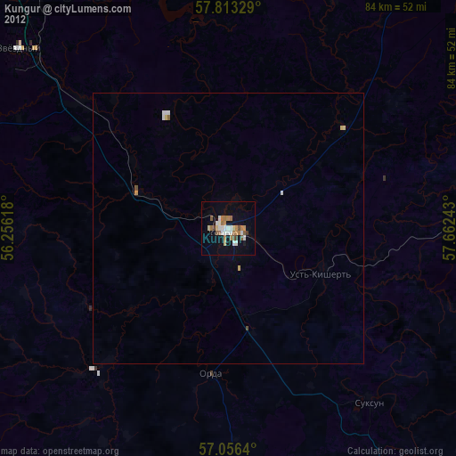
Analysis of Kungur night lights 2016
Square area 10x10 km:
 6.93%
6.93%90-99
10.45%80-89
1.7%70-79
1.36%60-69
1.48%50-59
1.25%40-49
0.91%30-39
0.91%20-29
8.07%10-19
34.55%0-9
32.39%Square area 50x50 km:
0.36%90-99
0.53%80-89
0.17%70-79
0.1%60-69
0.12%50-59
0.13%40-49
0.08%30-39
0.13%20-29
0.35%10-19
1.78%0-9
96.26%Clear (daylight) street map image can be seen on geolist.org.
Map coordinates:
57° 48' 47.8" North, 56° 15' 22.2" East
57° 26' 12.5" North, 56° 57' 33.5" East
57° 3' 23" North, 57° 39' 44.7" East
Some cities around Kungur sort by population:
• Perm
76.4 km =47.5 mi,  326°
326°
• Zvëzdnyy
50.6 km =31.4 mi,  310°
310°
• Novyye Lyady
71.8 km =44.6 mi,  343°
343°
• Suksun
41.9 km =26 mi,  141°
141°
• Yugo-Kamskiy
86.8 km =53.9 mi,  289°
289°
• Sylva
67.2 km =41.8 mi,  350°
350°
• Kondratovo
78.9 km =49 mi,  320°
320°
• Orda
27 km =16.8 mi,  186°
186°
539147 (p: 66,389)
Sources (retrieved 2019-11-25):
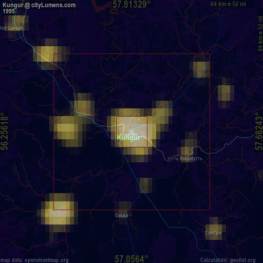
» NASA, Earths city lights 1995
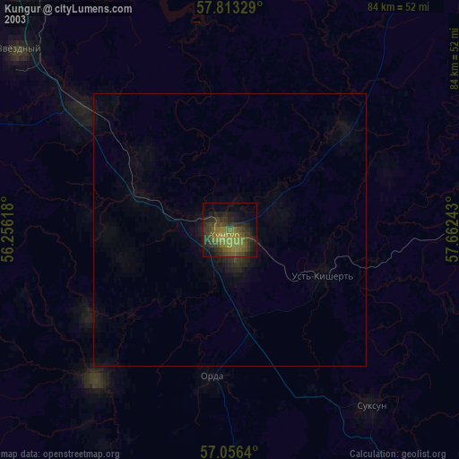
» NASA city lights 2003
» Earth at Night: Flat Maps 2012, 2016