Krasnotur’insk night lights from space
Night Light of Krasnotur’insk (Sverdlovsk) from space (Russia) Src. Average luminocity for 10x10km area is 9.0195% and for 50x50km: 2.0184%.
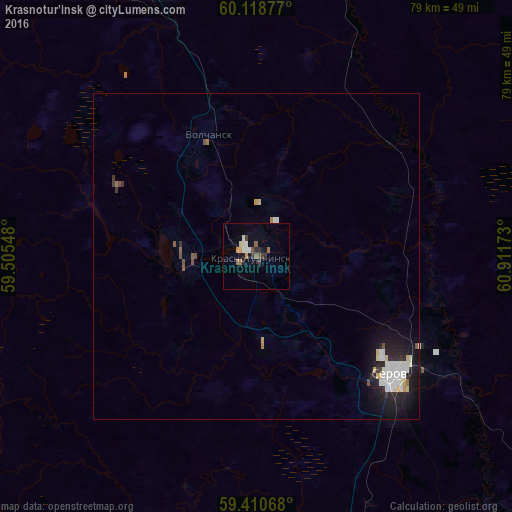
Analysis of Krasnotur’insk night lights 2016
Square area 10x10 km:
 0.87%
0.87%90-99
1.52%80-89
0.76%70-79
0.87%60-69
1.41%50-59
1.3%40-49
0.76%30-39
1.62%20-29
1.62%10-19
2.06%0-9
87.23%Square area 50x50 km:
0.43%90-99
0.45%80-89
0.18%70-79
0.12%60-69
0.14%50-59
0.14%40-49
0.19%30-39
0.2%20-29
0.52%10-19
1.67%0-9
95.95%Clear (daylight) street map image can be seen on geolist.org.
Map coordinates:
60° 7' 7.6" North, 59° 30' 19.7" East
59° 45' 59.8" North, 60° 12' 31" East
59° 24' 38.4" North, 60° 54' 42.2" East
Some cities around Krasnotur’insk sort by population:
• Serov
27.6 km =17.1 mi,  131°
131°
• Severoural’sk
45.3 km =28.1 mi,  341°
341°
• Karpinsk
11.9 km =7.4 mi,  271°
271°
• Ivdel’
103.5 km =64.3 mi,  6°
6°
• Novaya Lyalya
82.1 km =51 mi,  164°
164°
• Volchansk
20.3 km =12.6 mi, 339°
• Lobva
67 km =41.6 mi, 164°
• Cherëmukhovo
65.9 km =40.9 mi,  349°
349°
1502061 (p: 62,600)
Sources (retrieved 2019-11-25):
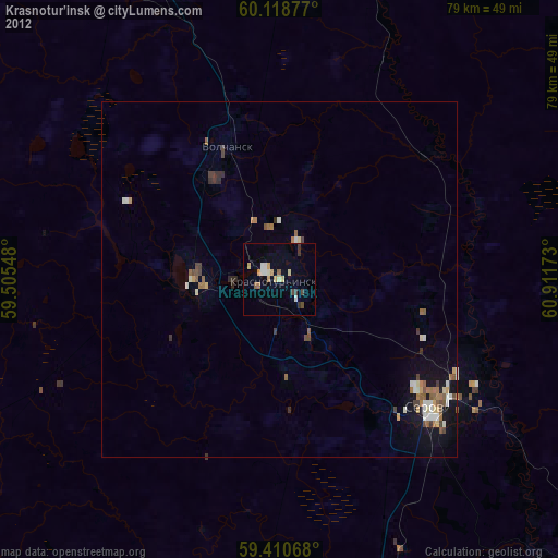
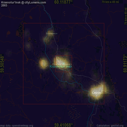
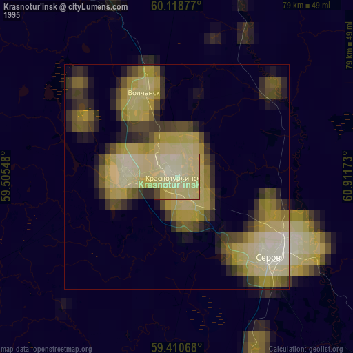
» NASA, Earths city lights 1995
» NASA city lights 2003
» Earth at Night: Flat Maps 2012, 2016