Karpinsk night lights from space
Night Light of Karpinsk (Sverdlovsk) from space (Russia) Src. Average luminocity for 10x10km area is 2.0227% and for 50x50km: 0.6331%.
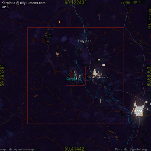
Analysis of Karpinsk night lights 2016
Square area 10x10 km:
 0%
0%90-99
0%80-89
0%70-79
0%60-69
0%50-59
1.41%40-49
2.06%30-39
0%20-29
0.43%10-19
0%0-9
96.1%Square area 50x50 km:
0.04%90-99
0.09%80-89
0.05%70-79
0.07%60-69
0.11%50-59
0.13%40-49
0.15%30-39
0.13%20-29
0.08%10-19
0.08%0-9
99.07%Clear (daylight) street map image can be seen on geolist.org.
Map coordinates:
60° 7' 20.7" North, 59° 17' 35.8" East
59° 46' 13.1" North, 59° 59' 47" East
59° 24' 51.9" North, 60° 41' 58.3" East
Some cities around Karpinsk sort by population:
• Serov
37.6 km =23.4 mi,  119°
119°
• Krasnotur’insk
11.9 km =7.4 mi,  91°
91°
• Severoural’sk
42.7 km =26.5 mi,  356°
356°
• Ivdel’
105 km =65.2 mi,  12°
12°
• Novaya Lyalya
86.5 km =53.7 mi,  156°
156°
• Volchansk
19.2 km =11.9 mi, 14°
• Lobva
71.4 km =44.4 mi, 155°
• Cherëmukhovo
64.3 km =40 mi, 359°
1504343 (p: 30,070)
Sources (retrieved 2019-11-25):
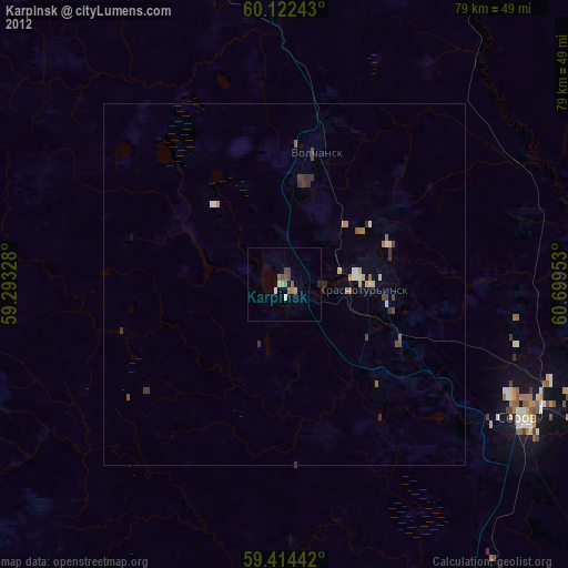
» Earth at Night: Flat Maps 2012, 2016