Chachersk night lights from space
Night Light of Chachersk (Gomel Oblast) from space (Belarus) Src. Average luminocity for 10x10km area is 0% and for 50x50km: 0.056%.
Analysis of Chachersk night lights 2016
Square area 10x10 km:
 0%
0%90-99
0%80-89
0%70-79
0%60-69
0%50-59
0%40-49
0%30-39
0%20-29
0%10-19
0%0-9
100%Square area 50x50 km:
0%90-99
0%80-89
0%70-79
0%60-69
0.01%50-59
0.06%40-49
0%30-39
0.04%20-29
0%10-19
0.03%0-9
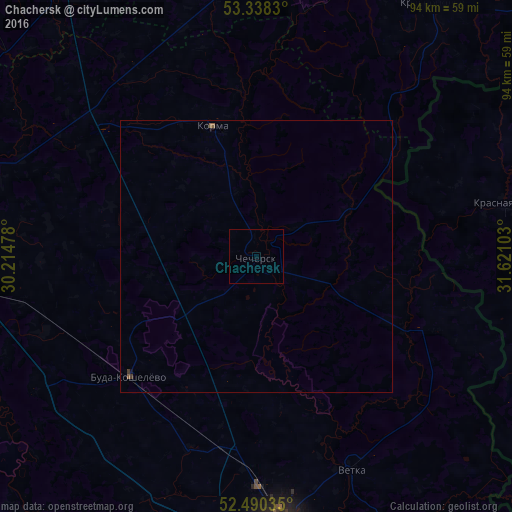
99.87%Clear (daylight) street map image can be seen on geolist.org.
Map coordinates:
53° 20' 17.9" North, 30° 12' 53.2" East
52° 54' 59" North, 30° 55' 4.4" East
52° 29' 25.3" North, 31° 37' 15.7" East
Some cities around Chachersk sort by population:
• Homyel'
53.7 km =33.4 mi,  175°
175°
• Zhlobin
60 km =37.3 mi,  267°
267°
• Rahachow
61.3 km =38.1 mi,  288°
288°
• Kastsyukowka
42 km =26.1 mi, 180°
• Vyetka
43.5 km =27 mi,  156°
156°
• Slawharad
58.8 km =36.5 mi,  5°
5°
• Krasnaya Gora, RU
46.8 km =29.1 mi,  78°
78°
• Krasnapollye
56.6 km =35.2 mi,  34°
34°
629390 (p: 7,600)
Sources (retrieved 2019-11-25):
» Earth at Night: Flat Maps 2012, 2016