Gorelki night lights from space
Night Light of Gorelki (Tula) from space (Russia) Src. Average luminocity for 10x10km area is 23.7569% and for 50x50km: 6.3371%.
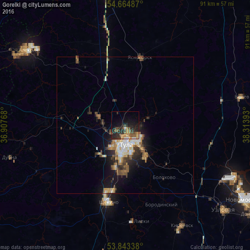
Analysis of Gorelki night lights 2016
Square area 10x10 km:
 1.5%
1.5%90-99
0.88%80-89
1.63%70-79
4.89%60-69
3.01%50-59
5.76%40-49
5.39%30-39
5.89%20-29
11.78%10-19
18.92%0-9
40.35%Square area 50x50 km:
0.71%90-99
0.96%80-89
0.76%70-79
0.92%60-69
0.71%50-59
1.08%40-49
1.03%30-39
1.18%20-29
1.84%10-19
4.12%0-9
86.68%Clear (daylight) street map image can be seen on geolist.org.
Map coordinates:
54° 39' 53.5" North, 36° 54' 27.6" East
54° 15' 22.2" North, 37° 36' 38.9" East
53° 50' 36.2" North, 38° 18' 50.1" East
Some cities around Gorelki sort by population:
• Tula
6.7 km =4.2 mi,  175°
175°
• Kosaya Gora
15.9 km =9.9 mi,  195°
195°
• Skuratovskiy
17.2 km =10.7 mi, 181°
• Pervomayskiy
24.4 km =15.2 mi, 195°
• Bolokhovo
23.9 km =14.9 mi,  143°
143°
• Leninskiy
10.4 km =6.5 mi,  289°
289°
• Mendeleyevskiy
13.3 km =8.3 mi,  186°
186°
• Rozhdestvenskiy
5.1 km =3.2 mi,  329°
329°
560154 (p: 7,655)
Sources (retrieved 2019-11-25):
» Earth at Night: Flat Maps 2012, 2016