Kolomenskoye night lights from space
Night Light of Kolomenskoye (Moscow) from space (Russia) Src. Average luminocity for 10x10km area is 99.7428% and for 50x50km: 78.4805%.
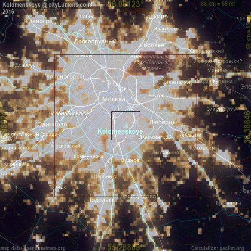
Analysis of Kolomenskoye night lights 2016
Square area 10x10 km:
 84.33%
90-99
15.67%80-89
0%70-79
0%60-69
0%50-59
0%40-49
0%30-39
0%20-29
0%10-19
0%0-9
0%Square area 50x50 km:
39.5%90-99
17.3%80-89
5.4%70-79
6.86%60-69
6.16%50-59
4.59%40-49
4.92%30-39
6.19%20-29
5.07%10-19
2.7%0-9
1.3%Clear (daylight) street map image can be seen on geolist.org.
Map coordinates:
56° 3' 40.4" North, 36° 58' 48.8" East
55° 40' 0" North, 37° 40' 60" East
55° 16' 5.1" North, 38° 23' 11.3" East
Some cities around Kolomenskoye sort by population:
• Mar’ino
2.8 km =1.7 mi,  131°
131°
• Lyublino
5 km =3.1 mi,  76°
76°
• Tsaritsyno
5 km =3.1 mi,  204°
204°
• Tekstil’shchiki
5.3 km =3.3 mi,  44°
44°
• Nagornyy
4.6 km =2.9 mi,  246°
246°
• Kotlovka
5 km =3.1 mi,  260°
260°
• Kozhukhovo
3.9 km =2.4 mi,  344°
344°
• Kur’yanovo
2.1 km =1.3 mi,  150°
150°
546244 (p: 30,000)
Sources (retrieved 2019-11-25):
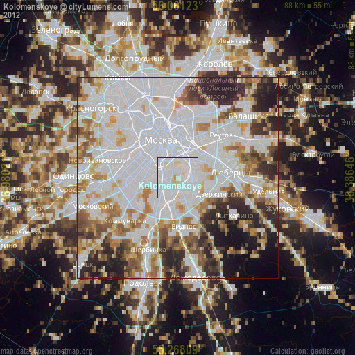
» Earth at Night: Flat Maps 2012, 2016