Kislovodsk night lights from space
Night Light of Kislovodsk (Stavropol’ Kray) from space (Russia) Src. Average luminocity for 10x10km area is 38.9937% and for 50x50km: 4.7323%.
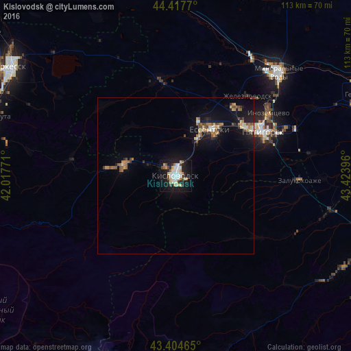
Analysis of Kislovodsk night lights 2016
Square area 10x10 km:
 9.68%
9.68%90-99
10.95%80-89
2.7%70-79
4.76%60-69
1.59%50-59
2.38%40-49
3.65%30-39
2.86%20-29
6.67%10-19
36.83%0-9
17.94%Square area 50x50 km:
0.51%90-99
0.77%80-89
0.4%70-79
0.55%60-69
0.61%50-59
0.7%40-49
0.67%30-39
0.4%20-29
0.74%10-19
4.82%0-9
89.84%Clear (daylight) street map image can be seen on geolist.org.
Map coordinates:
44° 25' 3.7" North, 42° 1' 3.8" East
43° 54' 48" North, 42° 43' 15" East
43° 24' 16.7" North, 43° 25' 26.3" East
Some cities around Kislovodsk sort by population:
• Yessentuki
18.4 km =11.4 mi,  37°
37°
• Yessentukskaya
18.5 km =11.5 mi, 44°
• Uchkeken
17 km =10.6 mi,  279°
279°
• Vinsady
27 km =16.8 mi,  46°
46°
• Yutsa
23.9 km =14.9 mi,  78°
78°
• Tereze
22.4 km =13.9 mi, 276°
• Pervomayskoye
19.8 km =12.3 mi, 278°
• Yasnaya Polyana
12.4 km =7.7 mi,  12°
12°
548114 (p: 132,771)
Sources (retrieved 2019-11-25):
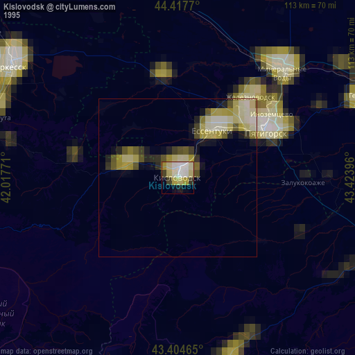
» NASA, Earths city lights 1995
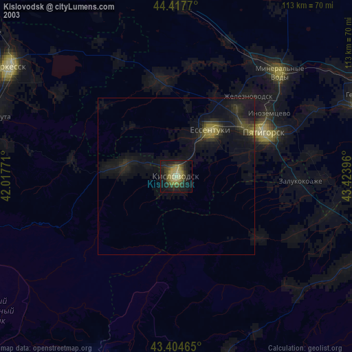
» NASA city lights 2003
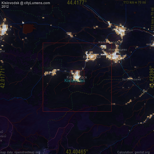
» Earth at Night: Flat Maps 2012, 2016