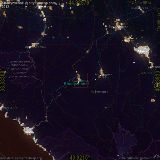
Khadyzhensk night lights from space
Night Light of Khadyzhensk (Krasnodarskiy) from space (Russia) Src. Average luminocity for 10x10km area is 2.2381% and for 50x50km: 0.4427%.

Analysis of Khadyzhensk night lights 2016
Square area 10x10 km:
 0%
0%90-99
0%80-89
0.63%70-79
0%60-69
0%50-59
0.48%40-49
0.79%30-39
0%20-29
3.17%10-19
0.63%0-9
94.29%Square area 50x50 km:
0.01%90-99
0.04%80-89
0.02%70-79
0%60-69
0.06%50-59
0.12%40-49
0.18%30-39
0.1%20-29
0.27%10-19
0.11%0-9
99.07%Clear (daylight) street map image can be seen on geolist.org.
Map coordinates:
44° 55' 32.8" North, 38° 49' 59.1" East
44° 25' 32.9" North, 39° 32' 10.3" East
43° 55' 17.4" North, 40° 14' 21.6" East
Some cities around Khadyzhensk sort by population:
• Maykop
49.5 km =30.8 mi,  65°
65°
• Tuapse
50.9 km =31.6 mi,  225°
225°
• Belorechensk
47 km =29.2 mi,  35°
35°
• Apsheronsk
16.3 km =10.1 mi, 74°
• Goryachiy Klyuch
39.5 km =24.5 mi,  305°
305°
• Khanskaya
43.8 km =27.2 mi,  50°
50°
• Kamennomostskiy
54 km =33.6 mi,  106°
106°
• Saratovskaya
40 km =24.9 mi,  321°
321°
550846 (p: 21,685)
Sources (retrieved 2019-11-25):
» Earth at Night: Flat Maps 2012, 2016