Chistyye Bory night lights from space
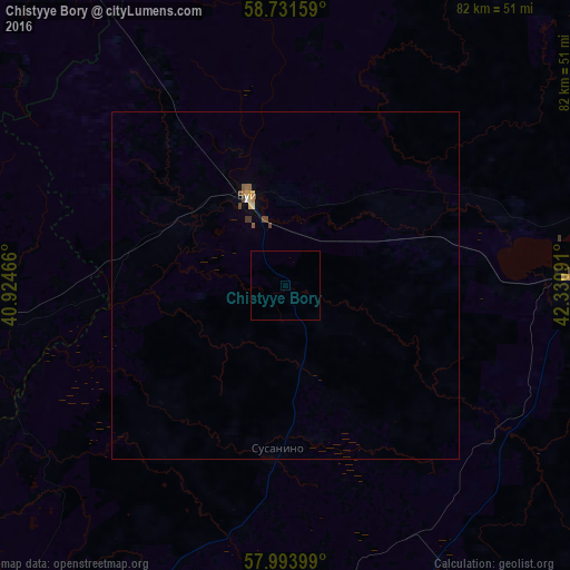
Night Light of Chistyye Bory (Kostroma Oblast) from space (Russia) Src. Average luminocity for 10x10km area is 0.0023% and for 50x50km: 0.2906%.
Analysis of Chistyye Bory night lights 2016
Square area 10x10 km:
 0%
0%90-99
0%80-89
0%70-79
0%60-69
0%50-59
0%40-49
0%30-39
0%20-29
0%10-19
0%0-9
100%Square area 50x50 km:
0.01%90-99
0%80-89
0.06%70-79
0.05%60-69
0.03%50-59
0.07%40-49
0.11%30-39
0.04%20-29
0%10-19
0%0-9
99.62%Clear (daylight) street map image can be seen on geolist.org.
Map coordinates:
58° 43' 53.7" North, 40° 55' 28.8" East
58° 21' 53" North, 41° 37' 40" East
57° 59' 38.4" North, 42° 19' 51.3" East
Some cities around Chistyye Bory sort by population:
• Kostroma
78.3 km =48.7 mi,  211°
211°
• Buy
13.9 km =8.6 mi,  337°
337°
• Galich
41.9 km =26 mi,  87°
87°
• Vokhtoga
59.3 km =36.8 mi,  326°
326°
• Lyubim
55 km =34.2 mi,  269°
269°
• Chukhloma
75 km =46.6 mi,  54°
54°
• Sudislavl’
53.9 km =33.5 mi,  174°
174°
• Ostrovskoye
71.9 km =44.7 mi,  149°
149°
6610370 (p: 5,103)
Sources (retrieved 2019-11-25):
» Earth at Night: Flat Maps 2012, 2016