Târgu Neamţ night lights from space
Night Light of Târgu Neamţ (Neamţ) from space (Romania) Src. Average luminocity for 10x10km area is 2.0432% and for 50x50km: 0.3311%.
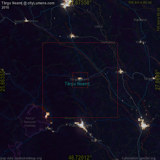
Analysis of Târgu Neamţ night lights 2016
Square area 10x10 km:
 0%
0%90-99
0%80-89
0%70-79
1.19%60-69
0%50-59
0.74%40-49
0.74%30-39
0.89%20-29
0%10-19
0%0-9
96.43%Square area 50x50 km:
0%90-99
0.11%80-89
0.02%70-79
0.13%60-69
0%50-59
0.03%40-49
0.03%30-39
0.04%20-29
0%10-19
0.04%0-9
99.61%Clear (daylight) street map image can be seen on geolist.org.
Map coordinates:
47° 40' 32.1" North, 25° 39' 48.8" East
47° 12' 0" North, 26° 22' 0" East
46° 43' 12.4" North, 27° 4' 11.3" East
Some cities around Târgu Neamţ sort by population:
• Vânători-Neamţ
3.8 km =2.4 mi,  270°
270°
• Răuceşti
6.7 km =4.2 mi,  34°
34°
• Bălţăteşti
10.5 km =6.5 mi,  208°
208°
• Petricani
8.4 km =5.2 mi,  116°
116°
• Brusturi
9.4 km =5.8 mi,  7°
7°
• Grumăzeşti
7.4 km =4.6 mi,  180°
180°
• Bodeşti
18.9 km =11.7 mi,  168°
168°
• Moţca
19.7 km =12.2 mi,  73°
73°
665003 (p: 20,473)
Sources (retrieved 2019-11-25):
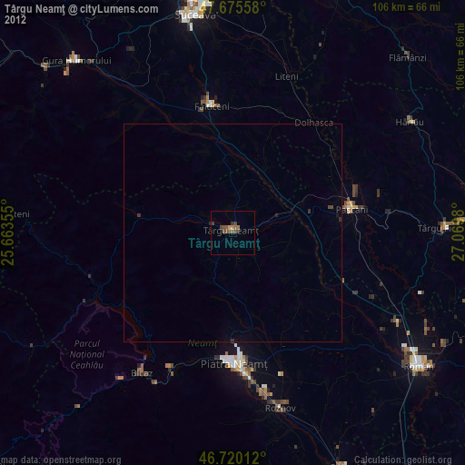
» Earth at Night: Flat Maps 2012, 2016