Târgu-Mureş night lights from space
Night Light of Târgu-Mureş (Mureş) from space (Romania) Src. Average luminocity for 10x10km area is 37.4702% and for 50x50km: 2.1869%.
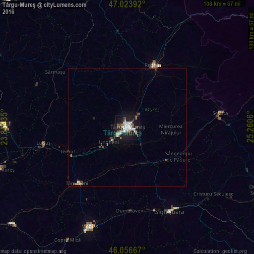
Analysis of Târgu-Mureş night lights 2016
Square area 10x10 km:
 10.51%
90-99
8.24%80-89
0.99%70-79
2.56%60-69
3.69%50-59
3.27%40-49
4.83%30-39
3.41%20-29
10.8%10-19
38.78%0-9
12.93%Square area 50x50 km:
0.43%90-99
0.37%80-89
0.06%70-79
0.13%60-69
0.26%50-59
0.22%40-49
0.43%30-39
0.27%20-29
0.5%10-19
2.07%0-9
95.24%Clear (daylight) street map image can be seen on geolist.org.
Map coordinates:
47° 1' 26.1" North, 23° 51' 15.7" East
46° 32' 32.8" North, 24° 33' 26.9" East
46° 3' 24" North, 25° 15' 38.2" East
Some cities around Târgu-Mureş sort by population:
• Sângeorgiu de Mureş
4.1 km =2.5 mi,  43°
43°
• Band
14.1 km =8.8 mi,  288°
288°
• Ungheni
9.6 km =6 mi,  226°
226°
• Sâncraiu de Mureş
2.6 km =1.6 mi, 292°
• Pănet
6.9 km =4.3 mi,  281°
281°
• Gorneşti
15.9 km =9.9 mi,  25°
25°
• Cristeşti
7.4 km =4.6 mi, 230°
• Ernei
9.5 km =5.9 mi, 42°
665004 (p: 146,863)
Sources (retrieved 2019-11-25):
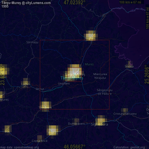
» NASA, Earths city lights 1995
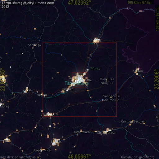
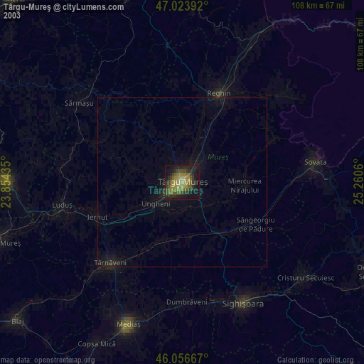
» NASA city lights 2003
» Earth at Night: Flat Maps 2012, 2016