Târgu Frumos night lights from space
Night Light of Târgu Frumos (Iaşi) from space (Romania) Src. Average luminocity for 10x10km area is 1.6176% and for 50x50km: 0.4464%.
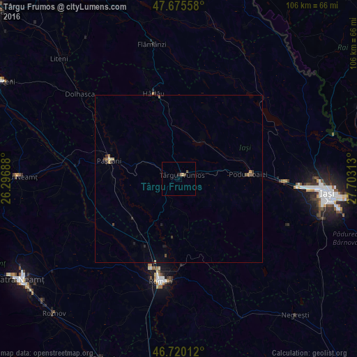
Analysis of Târgu Frumos night lights 2016
Square area 10x10 km:
 0%
0%90-99
0%80-89
0.6%70-79
0%60-69
0%50-59
0.3%40-49
1.34%30-39
0.15%20-29
0.6%10-19
0%0-9
97.02%Square area 50x50 km:
0%90-99
0.02%80-89
0.1%70-79
0.04%60-69
0.06%50-59
0.04%40-49
0.2%30-39
0.08%20-29
0.12%10-19
0.1%0-9
99.25%Clear (daylight) street map image can be seen on geolist.org.
Map coordinates:
47° 40' 32.1" North, 26° 17' 48.8" East
47° 12' 0" North, 27° 0' 0" East
46° 43' 12.4" North, 27° 42' 11.3" East
Some cities around Târgu Frumos sort by population:
• Belceşti
12.8 km =8 mi,  29°
29°
• Cotnari
16.7 km =10.4 mi,  355°
355°
• Doljeşti
18.6 km =11.6 mi,  183°
183°
• Todireşti
18.1 km =11.2 mi,  315°
315°
• Mirceşti
18.1 km =11.2 mi,  224°
224°
• Ruginoasa
12.6 km =7.8 mi,  296°
296°
• Lungani
11.5 km =7.1 mi,  99°
99°
• Bălţaţi
11.5 km =7.1 mi,  80°
80°
665013 (p: 13,797)
Sources (retrieved 2019-11-25):
» Earth at Night: Flat Maps 2012, 2016