Satu Mare night lights from space
Night Light of Satu Mare from space (Romania) Src. Average luminocity for 10x10km area is 37.8467% and for 50x50km: 2.1244%.
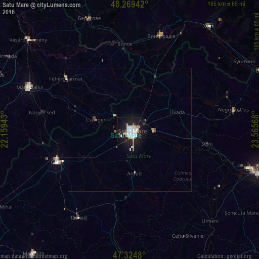
Analysis of Satu Mare night lights 2016
Square area 10x10 km:
 11.61%
90-99
11.01%80-89
2.08%70-79
2.38%60-69
3.27%50-59
0%40-49
0.6%30-39
1.34%20-29
12.2%10-19
37.2%0-9
18.3%Square area 50x50 km:
0.45%90-99
0.47%80-89
0.17%70-79
0.13%60-69
0.22%50-59
0.07%40-49
0.15%30-39
0.15%20-29
0.57%10-19
2.2%0-9
95.41%Clear (daylight) street map image can be seen on geolist.org.
Map coordinates:
48° 16' 9.9" North, 22° 9' 33.9" East
47° 47' 57.3" North, 22° 51' 45.2" East
47° 19' 29.3" North, 23° 33' 56.4" East
Some cities around Satu Mare sort by population:
• Seini
31.9 km =19.8 mi,  99°
99°
• Halmeu
21.9 km =13.6 mi,  31°
31°
• Medieşu Aurit
21.5 km =13.4 mi,  94°
94°
• Livada
21.6 km =13.4 mi,  69°
69°
• Oraşu Nou
31.6 km =19.6 mi,  83°
83°
• Ardud
18.5 km =11.5 mi,  175°
175°
• Lazuri
5.7 km =3.5 mi,  3°
3°
• Csenger, HU
14.2 km =8.8 mi,  286°
286°
667873 (p: 112,490)
Sources (retrieved 2019-11-25):
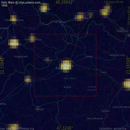
» NASA, Earths city lights 1995
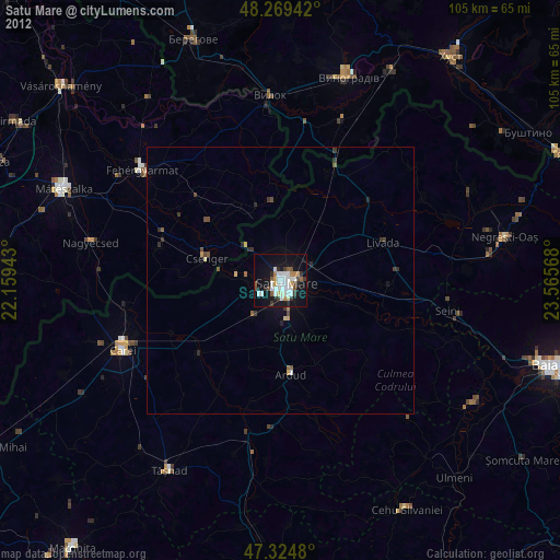
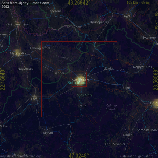
» NASA city lights 2003
» Earth at Night: Flat Maps 2012, 2016