Dobroteşti night lights from space
Night Light of Dobroteşti (Teleorman) from space (Romania) Src. Average luminocity for 10x10km area is 1.0939% and for 50x50km: 0.4958%.
Analysis of Dobroteşti night lights 2016
Square area 10x10 km:
 0%
0%90-99
0%80-89
0%70-79
0%60-69
0%50-59
0.61%40-49
0%30-39
0.76%20-29
1.67%10-19
0%0-9
96.97%Square area 50x50 km:
0%90-99
0.07%80-89
0.08%70-79
0.06%60-69
0.07%50-59
0.07%40-49
0.07%30-39
0.08%20-29
0.22%10-19
0.17%0-9
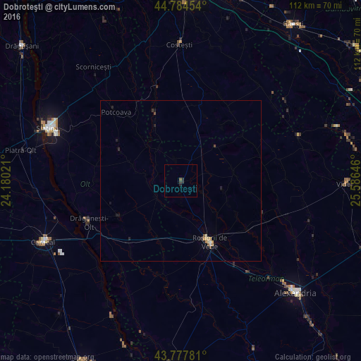
99.11%Clear (daylight) street map image can be seen on geolist.org.
Map coordinates:
44° 47' 4.3" North, 24° 10' 48.8" East
44° 16' 60" North, 24° 52' 60" East
43° 46' 40.1" North, 25° 35' 11.3" East
Some cities around Dobroteşti sort by population:
• Roșiorii de Vede
20.2 km =12.6 mi,  156°
156°
• Drăgăneşti-Olt
30.8 km =19.1 mi,  245°
245°
• Orbeasca de Sus
37.6 km =23.4 mi,  113°
113°
• Peretu
30.5 km =19 mi,  148°
148°
• Plosca
34.2 km =21.3 mi,  144°
144°
• Buzoeşti
33.5 km =20.8 mi,  4°
4°
• Potcoava
29 km =18 mi,  320°
320°
• Bârla
18 km =11.2 mi,  332°
332°
679202 (p: 5,096)
Sources (retrieved 2019-11-25):
» Earth at Night: Flat Maps 2012, 2016