Dobreşti night lights from space
Night Light of Dobreşti (Bihor) from space (Romania) Src. Average luminocity for 10x10km area is 0% and for 50x50km: 1.0886%.
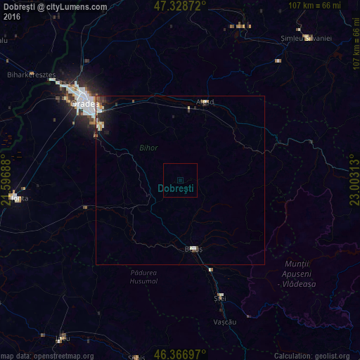
Analysis of Dobreşti night lights 2016
Square area 10x10 km:
100  0%
0%
90-99 0%
80-89 0%
70-79 0%
60-69 0%
50-59 0%
40-49 0%
30-39 0%
20-29 0%
10-19 0%
0-9 100%
0%90-99
0%80-89
0%70-79
0%60-69
0%50-59
0%40-49
0%30-39
0%20-29
0%10-19
0%0-9
100%Square area 50x50 km:
100 0.1%
90-99 0.23%
80-89 0.15%
70-79 0.12%
60-69 0.09%
50-59 0.11%
40-49 0.13%
30-39 0.23%
20-29 0.37%
10-19 0.75%
0-9 97.72%
0.1%90-99
0.23%80-89
0.15%70-79
0.12%60-69
0.09%50-59
0.11%40-49
0.13%30-39
0.23%20-29
0.37%10-19
0.75%0-9
97.72%Clear (daylight) street map image can be seen on geolist.org.
Map coordinates:
47° 19' 43.4" North, 21° 35' 48.8" East
46° 51' 0" North, 22° 18' 0" East
46° 22' 1.1" North, 23° 0' 11.3" East
Some cities around Dobreşti sort by population:
• Oradea
36.2 km =22.5 mi,  306°
306°
• Beiuş
20.7 km =12.9 mi,  169°
169°
• Aleşd
25.7 km =16 mi,  20°
20°
• Popeşti
43.5 km =27 mi,  11°
11°
• Tileagd
25.3 km =15.7 mi,  342°
342°
• Ștei
37 km =23 mi,  162°
162°
• Bratca
25.8 km =16 mi,  68°
68°
• Batăr
40.4 km =25.1 mi,  245°
245°
679248 (p: 5,573)
Sources (retrieved 2019-11-25):
» Earth at Night: Flat Maps 2012, 2016