Brăhăşeştii de Sus night lights from space
Night Light of Brăhăşeştii de Sus (Galaţi) from space (Romania) Src. Average luminocity for 10x10km area is 0.0284% and for 50x50km: 1.4705%.
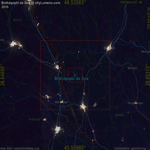
Analysis of Brăhăşeştii de Sus night lights 2016
Square area 10x10 km:
 0%
0%90-99
0%80-89
0%70-79
0%60-69
0%50-59
0%40-49
0%30-39
0%20-29
0%10-19
0%0-9
100%Square area 50x50 km:
0.21%90-99
0.24%80-89
0.14%70-79
0.17%60-69
0.18%50-59
0.11%40-49
0.36%30-39
0.21%20-29
0.27%10-19
0.36%0-9
97.74%Clear (daylight) street map image can be seen on geolist.org.
Map coordinates:
46° 32' 9" North, 26° 38' 48.8" East
46° 3' 0" North, 27° 21' 0" East
45° 33' 35.5" North, 28° 3' 11.3" East
Some cities around Brăhăşeştii de Sus sort by population:
• Adjud
15.2 km =9.4 mi,  291°
291°
• Homocea
12.9 km =8 mi,  315°
315°
• Munteni
14.5 km =9 mi,  153°
153°
• Păuneşti
19.4 km =12.1 mi,  264°
264°
• Ghidigeni
11.6 km =7.2 mi,  90°
90°
• Nicoreşti
13.5 km =8.4 mi,  193°
193°
• Tutova
17.1 km =10.6 mi,  64°
64°
• Podu Turcului
16.9 km =10.5 mi,  8°
8°
683907 (p: 7,692)
Sources (retrieved 2019-11-25):
» Earth at Night: Flat Maps 2012, 2016