Băileşti night lights from space
Night Light of Băileşti (Dolj) from space (Romania) Src. Average luminocity for 10x10km area is 8.1492% and for 50x50km: 1.0072%.
Analysis of Băileşti night lights 2016
Square area 10x10 km:
 1.59%
1.59%90-99
0.95%80-89
0.63%70-79
0%60-69
1.27%50-59
1.27%40-49
2.38%30-39
2.54%20-29
0.16%10-19
0%0-9
89.21%Square area 50x50 km:
0.12%90-99
0.1%80-89
0.06%70-79
0.09%60-69
0.2%50-59
0.12%40-49
0.27%30-39
0.23%20-29
0.31%10-19
0.24%0-9
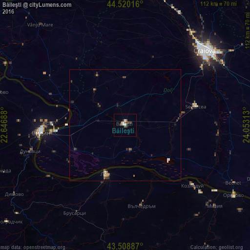
98.26%Clear (daylight) street map image can be seen on geolist.org.
Map coordinates:
44° 31' 12.6" North, 22° 38' 48.8" East
44° 1' 0" North, 23° 21' 0" East
43° 30' 31.9" North, 24° 3' 11.3" East
Some cities around Băileşti sort by population:
• Lom, BG
23.6 km =14.7 mi,  202°
202°
• Poiana Mare
25.3 km =15.7 mi,  243°
243°
• Segarcea
33.3 km =20.7 mi,  73°
73°
• Moţăţei
14.1 km =8.8 mi,  301°
301°
• Cetate
25.7 km =16 mi,  291°
291°
• Maglavit
20.1 km =12.5 mi,  275°
275°
• Piscu Vechi
19.6 km =12.2 mi,  228°
228°
• Pleniţa
25.9 km =16.1 mi,  329°
329°
685785 (p: 19,599)
Sources (retrieved 2019-11-25):
» Earth at Night: Flat Maps 2012, 2016