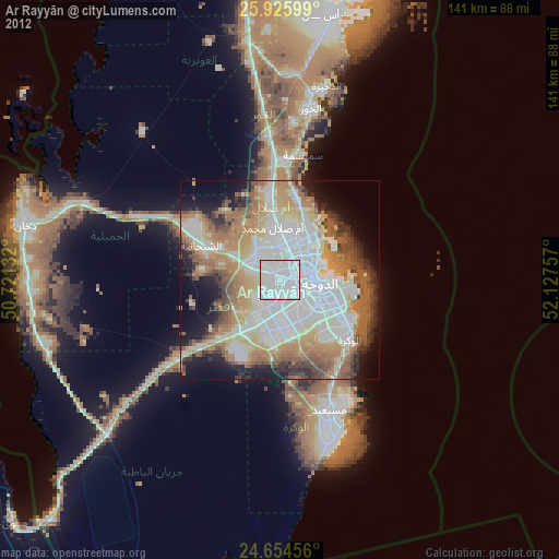
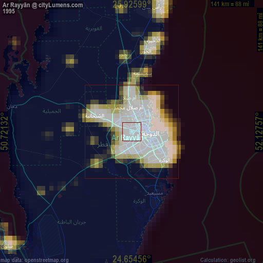
Ar Rayyān night lights from space
Night Light of Ar Rayyān (Baladīyat ar Rayyān) from space (Qatar) Src. Average luminocity for 10x10km area is 98.8591% and for 50x50km: 68.6591%.
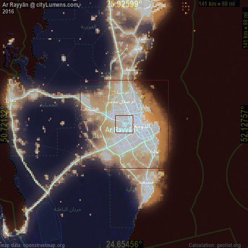

Analysis of Ar Rayyān night lights 2016
Square area 10x10 km:
 74.4%
74.4%90-99
21.63%80-89
3.97%70-79
0%60-69
0%50-59
0%40-49
0%30-39
0%20-29
0%10-19
0%0-9
0%Square area 50x50 km:
19.89%90-99
15.76%80-89
8.22%70-79
11.34%60-69
15.1%50-59
5.52%40-49
4.34%30-39
4.18%20-29
4.28%10-19
5.67%0-9
5.69%Clear (daylight) street map image can be seen on geolist.org.
Map coordinates:
25° 55' 33.6" North, 50° 43' 16.8" East
25° 17' 31" North, 51° 25' 28" East
24° 39' 16.4" North, 52° 7' 39.3" East
Some cities around Ar Rayyān sort by population:
• Doha
10.7 km =6.6 mi,  93°
93°
• Umm Şalāl Muḩammad
13.8 km =8.6 mi,  352°
352°
• Al Wakrah
22.4 km =13.9 mi,  126°
126°
• Ash Shīḩānīyah
22.1 km =13.7 mi,  293°
293°
• Musay‘īd
35.7 km =22.2 mi,  159°
159°
• Al Wukayr
19.3 km =12 mi,  144°
144°
• Az̧ Z̧a‘āyin
32.3 km =20.1 mi,  10°
10°
• Umm Şalāl ‘Alī
20 km =12.4 mi, 352°
289888 (p: 272,465)
Sources (retrieved 2019-11-25):
» NASA, Earths city lights 1995
» NASA city lights 2003
» Earth at Night: Flat Maps 2012, 2016