Praia da Vitória night lights from space
Night Light of Praia da Vitória (Azores) from space (Portugal) Src. Average luminocity for 10x10km area is 21.5289% and for 50x50km: 2.0826%.
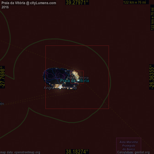
Analysis of Praia da Vitória night lights 2016
Square area 10x10 km:
 0.51%
0.51%90-99
1.19%80-89
4.76%70-79
6.12%60-69
2.04%50-59
4.42%40-49
2.89%30-39
3.57%20-29
1.7%10-19
16.16%0-9
56.63%Square area 50x50 km:
0.13%90-99
0.15%80-89
0.3%70-79
0.33%60-69
0.25%50-59
0.45%40-49
0.3%30-39
0.25%20-29
0.33%10-19
1.31%0-9
96.19%Clear (daylight) street map image can be seen on geolist.org.
Map coordinates:
39° 16' 47" North, 27° 46' 11.3" West
38° 43' 60" North, 27° 4' 0" West
38° 10' 57.9" North, 26° 21' 48.8" West
Some cities around Praia da Vitória sort by population:
• Ponta Delgada
164.7 km =102.3 mi,  132°
132°
• Angra do Heroísmo
15.7 km =9.8 mi,  236°
236°
• Rosto de Cão
165.1 km =102.6 mi, 131°
• Rabo de Peixe
165.3 km =102.7 mi, 128°
• Arrifes
160.6 km =99.8 mi, 132°
• Horta
137.2 km =85.3 mi,  260°
260°
• Madalena
128.7 km =80 mi, 260°
• Ribeira Grande
143.9 km =89.4 mi, 260°
3372760 (p: 6,061)
Sources (retrieved 2019-11-25):
» Earth at Night: Flat Maps 2012, 2016