Arrifes night lights from space
Night Light of Arrifes (Azores) from space (Portugal) Src. Average luminocity for 10x10km area is 32.034% and for 50x50km: 4.5518%.
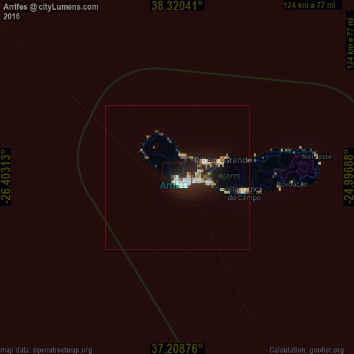
Analysis of Arrifes night lights 2016
Square area 10x10 km:
 10.2%
10.2%90-99
8.16%80-89
2.21%70-79
0.51%60-69
1.36%50-59
3.23%40-49
0.51%30-39
1.53%20-29
13.44%10-19
26.7%0-9
32.14%Square area 50x50 km:
0.65%90-99
0.61%80-89
0.57%70-79
0.46%60-69
0.62%50-59
0.46%40-49
0.49%30-39
0.4%20-29
1.73%10-19
3.8%0-9
90.19%Clear (daylight) street map image can be seen on geolist.org.
Map coordinates:
38° 19' 13.5" North, 26° 24' 11.3" West
37° 46' 0" North, 25° 42' 0" West
37° 12' 31.5" North, 24° 59' 48.8" West
Some cities around Arrifes sort by population:
• Ponta Delgada
4.1 km =2.5 mi,  137°
137°
• Lagoa
11.5 km =7.1 mi,  102°
102°
• Angra do Heroísmo
165.3 km =102.7 mi,  306°
306°
• Rosto de Cão
4.8 km =3 mi,  112°
112°
• Rabo de Peixe
11.4 km =7.1 mi,  64°
64°
• Madalena
261.5 km =162.5 mi,  289°
289°
• Praia da Vitória
160.6 km =99.8 mi, 312°
• Vila Franca do Campo
24.1 km =15 mi, 103°
3373329 (p: 6,981)
Sources (retrieved 2019-11-25):
» Earth at Night: Flat Maps 2012, 2016