Estômbar night lights from space
Night Light of Estômbar (Faro) from space (Portugal) Src. Average luminocity for 10x10km area is 55.4439% and for 50x50km: 13.602%.
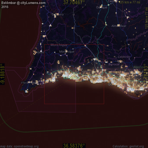
Analysis of Estômbar night lights 2016
Square area 10x10 km:
 7.82%
7.82%90-99
8.16%80-89
12.59%70-79
8.84%60-69
9.86%50-59
7.14%40-49
6.12%30-39
7.82%20-29
22.11%10-19
9.52%0-9
0%Square area 50x50 km:
1.56%90-99
1.57%80-89
2.2%70-79
1.63%60-69
2.17%50-59
2.03%40-49
1.57%30-39
2.17%20-29
5.36%10-19
10.12%0-9
69.61%Clear (daylight) street map image can be seen on geolist.org.
Map coordinates:
37° 42' 16.8" North, 9° 11' 17.4" West
37° 8' 46.6" North, 8° 29' 6.2" West
36° 35' 1.5" North, 7° 46' 54.9" West
Some cities around Estômbar sort by population:
• Portimão
4.7 km =2.9 mi,  259°
259°
• Lagos
17.5 km =10.9 mi,  253°
253°
• Albufeira
21.8 km =13.5 mi,  107°
107°
• Silves
6.3 km =3.9 mi,  41°
41°
• São Bartolomeu de Messines
21.4 km =13.3 mi,  55°
55°
• Lagoa
3.1 km =1.9 mi, 113°
• Monchique
20.1 km =12.5 mi,  341°
341°
• Alvor
9.6 km =6 mi, 259°
2268437 (p: 8,590)
Sources (retrieved 2019-11-25):
» Earth at Night: Flat Maps 2012, 2016