Tuyum night lights from space
Night Light of Tuyum (Western Visayas) from space (Philippines) Src. Average luminocity for 10x10km area is 0.5207% and for 50x50km: 0.3387%.
Analysis of Tuyum night lights 2016
Square area 10x10 km:
 0%
0%90-99
0%80-89
0%70-79
0%60-69
0%50-59
0%40-49
0%30-39
0.83%20-29
0.83%10-19
0%0-9
98.35%Square area 50x50 km:
0%90-99
0%80-89
0.03%70-79
0.15%60-69
0%50-59
0.08%40-49
0.06%30-39
0.13%20-29
0.09%10-19
0.02%0-9
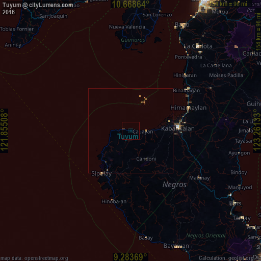
99.44%Clear (daylight) street map image can be seen on geolist.org.
Map coordinates:
10° 40' 7.1" North, 121° 51' 18.3" East
9° 58' 36.8" North, 122° 33' 29.5" East
9° 17' 1.3" North, 123° 15' 40.8" East
Some cities around Tuyum sort by population:
• Guiljungan
12.7 km =7.9 mi,  88°
88°
• Inayauan
16 km =9.9 mi,  238°
238°
• Dancalan
19.8 km =12.3 mi, 88°
• Cawayan
7.3 km =4.5 mi, 94°
• Candoni
18.5 km =11.5 mi,  164°
164°
• Tabu
19.1 km =11.9 mi,  119°
119°
• Bulata
21.5 km =13.4 mi,  232°
232°
• Camindangan
10.2 km =6.3 mi,  129°
129°
1680531 (p: 11,117)
Sources (retrieved 2019-11-25):
» Earth at Night: Flat Maps 2012, 2016